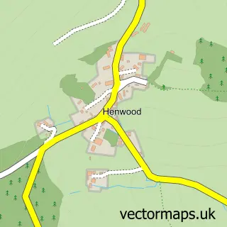
This St Neot street map is a detailed vector street map covering a 750m x 750m area. Select a larger area to create and download your own vector street map of St Neot.
The 750-metre map sample for St Neot covers 175 mapped buildings and approximately 12.9 km of road detail, of which 9 named roads are named. The immediate area includes 1 school, 1 pub and 1 MOT station within 2 miles. The wider area around St Neot features 1 food and drink venue and 1 hotel. To create a larger or custom map of St Neot, the map builder lets you define your own coverage area and download editable SVG, PDF and PNG files.
Create a larger editable map of St Neot
Choose any area you need and generate a high-quality vector map instantly. Perfect for print, planning, design, business and personal use.

This St Neot street map in Cornwall is available as downloadable SVG, PDF and PNG map files, or as a printed map for planning, business, display, education, local information and design work. You can also create a larger custom map area using the map selector.
What this St Neot map sample shows
St Neot lies within St. Neot Cp parish, part of St Cleer ward in the Cornwall local authority area. The postcode geography for this area includes the PL postcode area, the PL14 postcode district and the PL14 6 postcode sector. Residents fall under the Nhs Cornwall And The Isles Of Scilly Integrated Care Board for NHS services.
Local features near St Neot
Within 2 milesAmenities and services in and around St Neot.
Administrative and postcode information for St Neot
The local authority covering St Neot is Cornwall, within the county of Cornwall. The settlement lies within St Cleer ward and St. Neot Cp civil parish. The PL14 postcode district and PL14 6 postcode sector serve the immediate area. NHS provision in the area is delivered through University Hospitals Plymouth Nhs Trust.
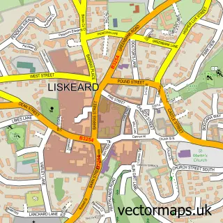
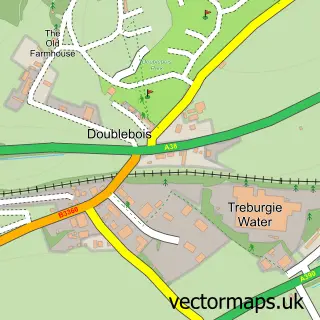
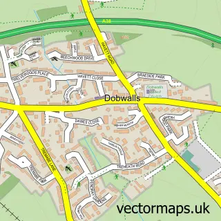
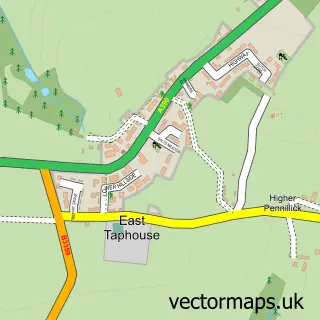
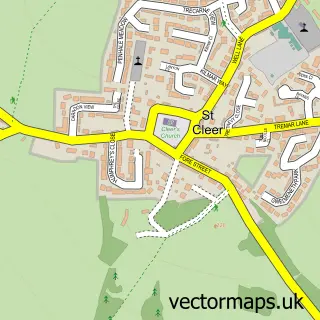
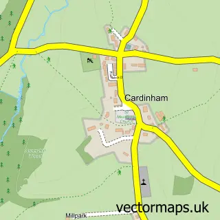
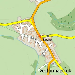
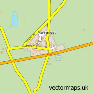
Nearby street map samples around St Neot

More street maps in Cornwall
750 metre map area coverage
Boundary, postcode and point of interest information for the 750m x 750m rectangle centred on this sample map.
Boundaries containing map centre
Constituency: South East Cornwall Co Const
District: Cornwall
Icb: NHS Cornwall and the Isles of Scilly ICB
Parish: St. Neot CP
Police Force: devon and cornwall
Postcode District: PL14
Postcode Sector: PL14 6
Nearby boundaries intersecting sample
No additional intersecting boundaries found.
Postcode coverage
POI category counts
Church Cathedral: 2
Anglican Church: 1
Architectural Designer: 1
Bar: 1
Bed And Breakfast: 1
Business: 1
Community Center: 1
Elementary School: 1
Grocery Store: 1
Home Health Care: 1
Sample points of interest
- The Parish Church of St Anietus St Neot
- Project Design Consultancy
- St Neot Social Club
- Lampen Farm Bed and Breakfast
- Arnie Vetter & Co.
- St Anietus, St Neot,
- St Neot Church
- St Neot Village Institute
- St Neot Community Primary School
- St Neot village shop
- Restgarth Network
- Bluebells Childminding
Create a larger editable map of St Neot
This sample shows only a 750 metre area. To create a larger map of St Neot, use our map builder to choose your own coverage area, add titles and download editable SVG, PDF and PNG files.
Create a custom map of St Neot