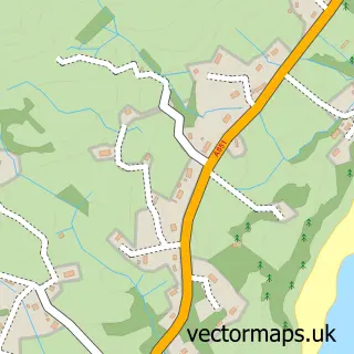
This Mallaig street map is a detailed vector street map covering a 750m x 750m area. Select a larger area to create and download your own vector street map of Mallaig.
The 750-metre map sample for Mallaig covers 48 mapped buildings and approximately 8.6 km of road detail, of which 10 named roads are named. The immediate area includes 1 railway station, 1 GP surgery and 2 pubs. The wider area around Mallaig features 5 tourism points of interest, 10 food and drink venues and 4 hotels. To create a larger or custom map of Mallaig, the map builder lets you define your own coverage area and download editable SVG, PDF and PNG files.
Create a larger editable map of Mallaig
Choose any area you need and generate a high-quality vector map instantly. Perfect for print, planning, design, business and personal use.

This Mallaig street map in Inverness is available as downloadable SVG, PDF and PNG map files, or as a printed map for planning, business, display, education, local information and design work. You can also create a larger custom map area using the map selector.
What this Mallaig map sample shows
Mallaig lies within Highland parish, part of Caol And Mallaig ward in the Highland local authority area. Local NHS services are provided through Highland.
Local features near Mallaig
Within 2 milesAmenities and services in and around Mallaig.
Administrative and postcode information for Mallaig
The local authority covering Mallaig is Highland, within the county of Inverness. The settlement lies within Caol And Mallaig ward and Highland civil parish. NHS provision in the area is delivered through Highland.
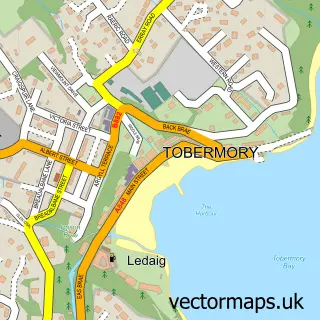
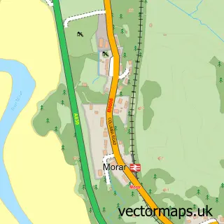
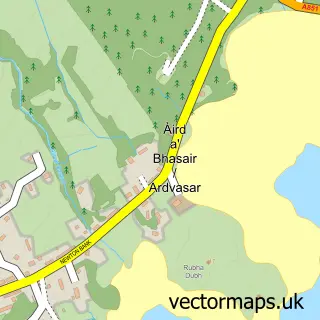
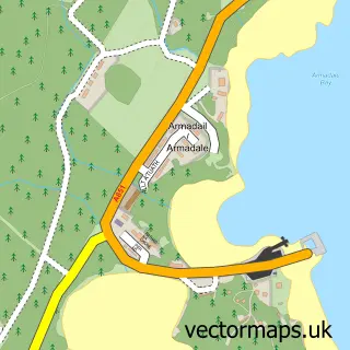
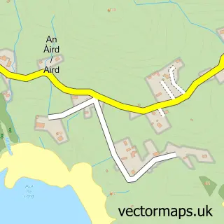
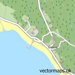
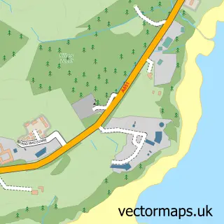
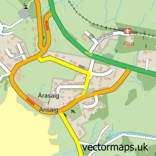
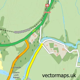
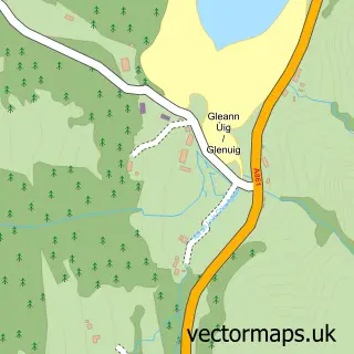
Nearby street map samples around Mallaig

More street maps in Inverness
750 metre map area coverage
Boundary, postcode and point of interest information for the 750m x 750m rectangle centred on this sample map.
Boundaries containing map centre
Constituency: Inverness, Skye and West Ross-shire Co Const
District: Highland
Icb: Highland
Postcode District: PH41
Postcode Sector: PH41 4
Ward: Caol and Mallaig Ward
Nearby boundaries intersecting sample
No additional intersecting boundaries found.
Postcode coverage
POI category counts
Convenience Store: 6
Hotel: 4
Restaurant: 4
Seafood Restaurant: 4
Bed And Breakfast: 3
Cafe: 3
Ferry Boat Company: 3
Fish And Chips Restaurant: 2
Hair Salon: 2
Holiday Rental Home: 2
Sample points of interest
- Mallaig Art Gallery & Crafts
- Mallaig Boatyard
- The Cooperative Food Mallaig
- Not About The Summit
- The Bakehouse & Crannog
- Bank of Scotland
- The Marine Bar
- Jaffy's Smokehouse
- Silver Sands of Morar
- Seaview Guest House
- Springbank Guest House
- The Moorings Guest House
Create a larger editable map of Mallaig
This sample shows only a 750 metre area. To create a larger map of Mallaig, use our map builder to choose your own coverage area, add titles and download editable SVG, PDF and PNG files.
Create a custom map of Mallaig