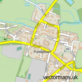
This Milborne St Andrew street map is a detailed vector street map covering a 750m x 750m area. Select a larger area to create and download your own vector street map of Milborne St Andrew.
The 750-metre map sample for Milborne St Andrew covers 255 mapped buildings and approximately 14.6 km of road detail, of which 21 named roads are named. The immediate area includes 1 school, 2 pubs and 1 MOT station within 2 miles. The wider area around Milborne St Andrew features 1 tourism point of interest and 2 food and drink venues. To create a larger or custom map of Milborne St Andrew, the map builder lets you define your own coverage area and download editable SVG, PDF and PNG files.
Create a larger editable map of Milborne St Andrew
Choose any area you need and generate a high-quality vector map instantly. Perfect for print, planning, design, business and personal use.

This Milborne St Andrew street map in Dorset is available as downloadable SVG, PDF and PNG map files, or as a printed map for planning, business, display, education, local information and design work. You can also create a larger custom map area using the map selector.
What this Milborne St Andrew map sample shows
Milborne St Andrew lies within Milborne St. Andrew Cp parish, part of Puddletown & Lower Winterborne ward in the Dorset local authority area. The postcode geography for this area includes the DT postcode area, the DT11 postcode district and the DT11 0 postcode sector. Residents fall under the Nhs Dorset Integrated Care Board for NHS services.
Local features near Milborne St Andrew
Within 2 milesAmenities and services in and around Milborne St Andrew.
Administrative and postcode information for Milborne St Andrew
Milborne St Andrew lies within Milborne St. Andrew Cp parish, part of Puddletown & Lower Winterborne ward in the Dorset local authority area. The postcode geography for this area includes the DT postcode area, the DT11 postcode district and the DT11 0 postcode sector. Residents fall under the Nhs Dorset Integrated Care Board for NHS services.
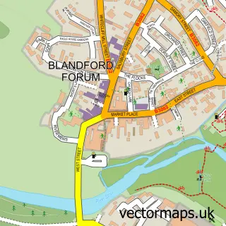
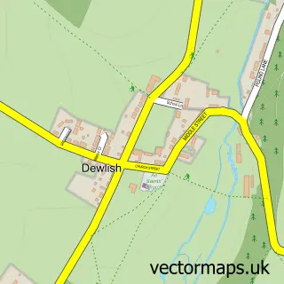
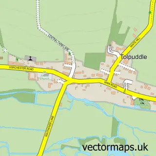
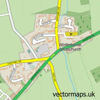
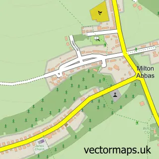
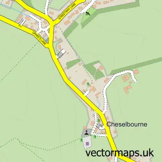
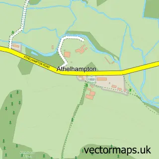
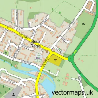
Nearby street map samples around Milborne St Andrew

More street maps in Dorset
750 metre map area coverage
Boundary, postcode and point of interest information for the 750m x 750m rectangle centred on this sample map.
Boundaries containing map centre
Constituency: North Dorset Co Const
District: Dorset
Icb: NHS Dorset ICB
Parish: Milborne St. Andrew CP
Police Force: dorset
Postcode District: DT11
Postcode Sector: DT11 0
Ward: Puddletown & Lower Winterborne Ward
Nearby boundaries intersecting sample
No additional intersecting boundaries found.
Postcode coverage
POI category counts
Pub: 2
Anglican Church: 1
Auto Company: 1
Automotive Repair: 1
Carpet Cleaning: 1
Convenience Store: 1
Currency Exchange: 1
Doctor: 1
Elementary School: 1
Furniture Manufacturers: 1
Sample points of interest
- St. Andrews - Milborne St. Andrew
- MSA Motors Milborne St Andrew Garage
- Bourne Valley Service Station
- Dorset Carpet Care
- Londis GRAYS STORES MILTON ROAD
- Post Office Travel Money
- Milborne St Andrew Surgery
- Milborne St Andrew First School
- Grays Stores
- Bradley Perrins Furniture
- Greensleeves
- Post Office-Milton Abbas
Create a larger editable map of Milborne St Andrew
This sample shows only a 750 metre area. To create a larger map of Milborne St Andrew, use our map builder to choose your own coverage area, add titles and download editable SVG, PDF and PNG files.
Create a custom map of Milborne St Andrew