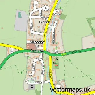
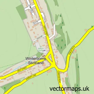
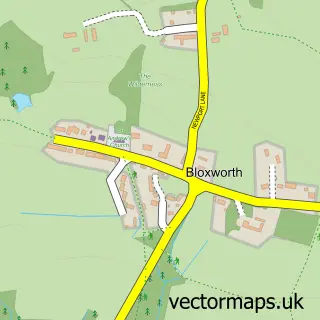
This Winterborne Whitechurch street map is a detailed vector street map covering a 750m x 750m area. Select a larger area to create and download your own vector street map of Winterborne Whitechurch.
The 750-metre map sample for Winterborne Whitechurch covers 188 mapped buildings and approximately 15.4 km of road detail, of which 9 named roads are named. The immediate area includes 1 school. The wider area around Winterborne Whitechurch features 1 food and drink venue. To create a larger or custom map of Winterborne Whitechurch, the map builder lets you define your own coverage area and download editable SVG, PDF and PNG files.
Create a larger editable map of Winterborne Whitechurch
Choose any area you need and generate a high-quality vector map instantly. Perfect for print, planning, design, business and personal use.

This Winterborne Whitechurch street map in Dorset is available as downloadable SVG, PDF and PNG map files, or as a printed map for planning, business, display, education, local information and design work. You can also create a larger custom map area using the map selector.
What this Winterborne Whitechurch map sample shows
Winterborne Whitechurch lies within Winterborne Whitechurch Cp parish, part of Puddletown & Lower Winterborne ward in the Dorset local authority area. The postcode geography for this area includes the DT postcode area, the DT11 postcode district and the DT11 0 postcode sector. Residents fall under the Nhs Dorset Integrated Care Board for NHS services.
Local features near Winterborne Whitechurch
Within 2 milesAmenities and services in and around Winterborne Whitechurch.
Administrative and postcode information for Winterborne Whitechurch
Winterborne Whitechurch lies within Winterborne Whitechurch Cp parish, part of Puddletown & Lower Winterborne ward in the Dorset local authority area. The postcode geography for this area includes the DT postcode area, the DT11 postcode district and the DT11 0 postcode sector. Residents fall under the Nhs Dorset Integrated Care Board for NHS services.
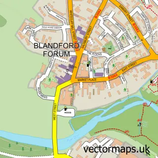
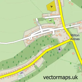
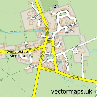
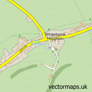
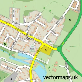
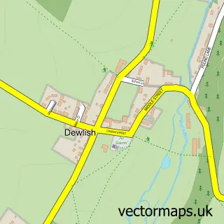
Nearby street map samples around Winterborne Whitechurch

More street maps in Dorset
750 metre map area coverage
Boundary, postcode and point of interest information for the 750m x 750m rectangle centred on this sample map.
Boundaries containing map centre
Constituency: North Dorset Co Const
District: Dorset
Icb: NHS Dorset ICB
Parish: Winterborne Whitechurch CP
Police Force: dorset
Postcode District: DT11
Postcode Sector: DT11 0
Ward: Puddletown & Lower Winterborne Ward
Nearby boundaries intersecting sample
Postcode Sector: DT11 9
Postcode coverage
POI category counts
Anglican Church: 1
Arts And Crafts: 1
Baby Gear And Furniture: 1
Bike Repair Maintenance: 1
Business: 1
Community Center: 1
Driving School: 1
Farm: 1
Flowers And Gifts Shop: 1
Home Goods Store: 1
Sample points of interest
- Winterborne Whitechurch: St Mary
- The Old Stables Fabric Warehouse
- Enchanted Interiors
- SickWhip
- Discover Your Voice
- Winterborne Whitechurch Village Hall
- Neill's - LDC Driving School
- The Hives of Highfield
- Flower Press UK
- Dorseteco
- Luminurse
- Winterborne Direct
Create a larger editable map of Winterborne Whitechurch
This sample shows only a 750 metre area. To create a larger map of Winterborne Whitechurch, use our map builder to choose your own coverage area, add titles and download editable SVG, PDF and PNG files.
Create a custom map of Winterborne Whitechurch