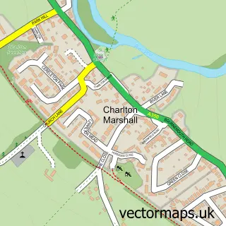
This Winterborne Kingston street map is a detailed vector street map covering a 750m x 750m area. Select a larger area to create and download your own vector street map of Winterborne Kingston.
The 750-metre map sample for Winterborne Kingston covers 241 mapped buildings and approximately 12.4 km of road detail, of which 20 named roads are named. The immediate area includes 2 pubs and 1 MOT station within 2 miles. The wider area around Winterborne Kingston features 3 food and drink venues. To create a larger or custom map of Winterborne Kingston, the map builder lets you define your own coverage area and download editable SVG, PDF and PNG files.
Create a larger editable map of Winterborne Kingston
Choose any area you need and generate a high-quality vector map instantly. Perfect for print, planning, design, business and personal use.

This Winterborne Kingston street map in Dorset is available as downloadable SVG, PDF and PNG map files, or as a printed map for planning, business, display, education, local information and design work. You can also create a larger custom map area using the map selector.
What this Winterborne Kingston map sample shows
Winterborne Kingston lies within Winterborne Kingston Cp parish, part of Puddletown & Lower Winterborne ward in the Dorset local authority area. The postcode geography for this area includes the DT postcode area, the DT11 postcode district and the DT11 9 postcode sector. Residents fall under the Nhs Dorset Integrated Care Board for NHS services.
Local features near Winterborne Kingston
Within 2 milesAmenities and services in and around Winterborne Kingston.
Administrative and postcode information for Winterborne Kingston
The local authority covering Winterborne Kingston is Dorset, within the county of Dorset. The settlement lies within Puddletown & Lower Winterborne ward and Winterborne Kingston Cp civil parish. The DT11 postcode district and DT11 9 postcode sector serve the immediate area. NHS provision in the area is delivered through Dorset County Hospital Nhs Foundation Trust.
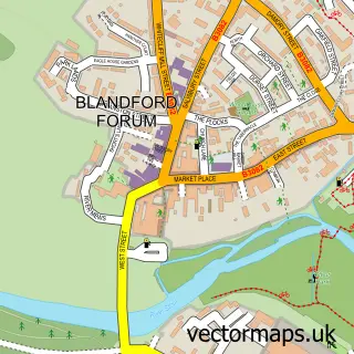
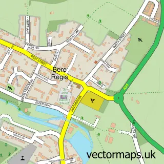
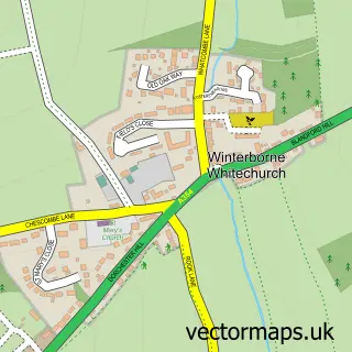
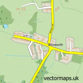
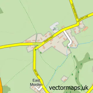
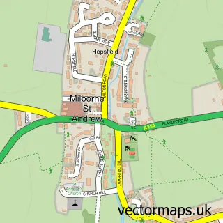
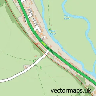
Nearby street map samples around Winterborne Kingston

More street maps in Dorset
750 metre map area coverage
Boundary, postcode and point of interest information for the 750m x 750m rectangle centred on this sample map.
Boundaries containing map centre
Constituency: North Dorset Co Const
District: Dorset
Icb: NHS Dorset ICB
Parish: Winterborne Kingston CP
Police Force: dorset
Postcode District: DT11
Postcode Sector: DT11 9
Ward: Puddletown & Lower Winterborne Ward
Nearby boundaries intersecting sample
No additional intersecting boundaries found.
Postcode coverage
POI category counts
Counseling And Mental Health: 2
Pub: 2
Anglican Church: 1
Automotive: 1
Automotive Repair: 1
Bridal Shop: 1
Coffee Shop: 1
Engineering Services: 1
Gardener: 1
Kitchen Remodeling: 1
Sample points of interest
- Winterborne Kingston: St Nicholas
- TT Motors Racing LTD
- T T Motor Racing
- BW Design
- Cannonball Coffee Company
- West Way Therapy
- West Way Therapy
- Kedgeworth
- Can I Cut It Yes I Can
- Kitchen Facelift
- Winterborne Kingston Post Office
- Jillie Tregarth Singing Tuition
Create a larger editable map of Winterborne Kingston
This sample shows only a 750 metre area. To create a larger map of Winterborne Kingston, use our map builder to choose your own coverage area, add titles and download editable SVG, PDF and PNG files.
Create a custom map of Winterborne Kingston