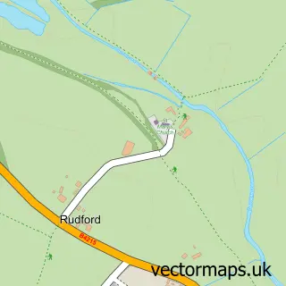
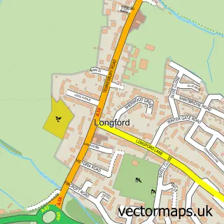
This Oakridge street map is a detailed vector street map covering a 750m x 750m area. Select a larger area to create and download your own vector street map of Oakridge.
The 750-metre map sample for Oakridge covers 277 mapped buildings and approximately 33.3 km of road detail, of which 28 named roads are named. The immediate area includes 1 school, 3 GP surgeries within 2 miles and 9 MOT stations within 2 miles. The wider area around Oakridge features 2 tourism points of interest. To create a larger or custom map of Oakridge, the map builder lets you define your own coverage area and download editable SVG, PDF and PNG files.
Create a larger editable map of Oakridge
Choose any area you need and generate a high-quality vector map instantly. Perfect for print, planning, design, business and personal use.

This Oakridge street map in Gloucestershire is available as downloadable SVG, PDF and PNG map files, or as a printed map for planning, business, display, education, local information and design work. You can also create a larger custom map area using the map selector.
What this Oakridge map sample shows
Oakridge lies within Highnam Cp parish, part of Highnam With Haw Bridge ward in the Tewkesbury District (B) local authority area. The postcode geography for this area includes the GL postcode area, the GL2 postcode district and the GL2 8 postcode sector. Residents fall under the Nhs Gloucestershire Integrated Care Board for NHS services.
Local features near Oakridge
Within 2 milesAmenities and services in and around Oakridge.
Administrative and postcode information for Oakridge
The local authority covering Oakridge is Tewkesbury District (B), within the county of Gloucestershire. The settlement lies within Highnam With Haw Bridge ward and Highnam Cp civil parish. The GL2 postcode district and GL2 8 postcode sector serve the immediate area. NHS provision in the area is delivered through Gloucestershire Hospitals Nhs Foundation Trust.
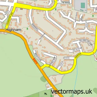
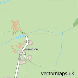
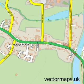
Nearby street map samples around Oakridge

More street maps in Gloucestershire
750 metre map area coverage
Boundary, postcode and point of interest information for the 750m x 750m rectangle centred on this sample map.
Boundaries containing map centre
Constituency: Forest of Dean Co Const
County: Gloucestershire County
District: Tewkesbury District (B)
Icb: NHS Gloucestershire ICB
Parish: Highnam CP
Police Force: gloucestershire
Postcode District: GL2
Postcode Sector: GL2 8
Ward: Highnam with Haw Bridge Ward
Nearby boundaries intersecting sample
No additional intersecting boundaries found.
Postcode coverage
POI category counts
Building Supply Store: 2
Attractions And Activities: 1
Auto Detailing: 1
Community Services Non Profits: 1
Computer Coaching: 1
Corporate Entertainment Services: 1
Day Care Preschool: 1
Education: 1
Elementary School: 1
Financial Service: 1
Sample points of interest
- Lassington Wood
- SHarper Detailing
- Adam Lott Pest Control
- S Dunn Plumbing & Heating
- Association of Serviced Appartment Providers
- Empathy
- Planned for Perfection
- Highnam Under Fives
- Gloucestershire County Council
- Highnam CofE Primary Academy
- The Computer Cookie
- Hallmark Equestrian Services
Create a larger editable map of Oakridge
This sample shows only a 750 metre area. To create a larger map of Oakridge, use our map builder to choose your own coverage area, add titles and download editable SVG, PDF and PNG files.
Create a custom map of Oakridge