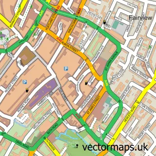
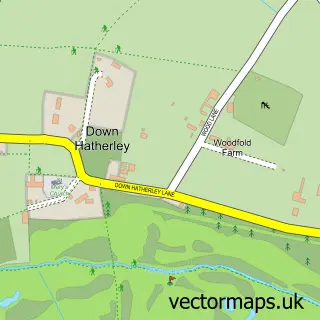
This Longford street map is a detailed vector street map covering a 750m x 750m area. Select a larger area to create and download your own vector street map of Longford.
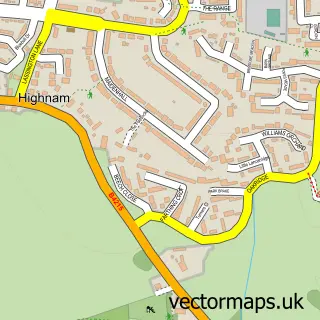
The 750-metre map sample for Longford covers 324 mapped buildings and approximately 35.0 km of road detail, of which 25 named roads are named. The immediate area includes 6 GP surgeries within 2 miles, 1 pub and 19 MOT stations within 2 miles. The wider area around Longford features 1 tourism point of interest, 2 food and drink venues and 1 campsite within 2 miles. To create a larger or custom map of Longford, the map builder lets you define your own coverage area and download editable SVG, PDF and PNG files.
Create a larger editable map of Longford
Choose any area you need and generate a high-quality vector map instantly. Perfect for print, planning, design, business and personal use.

This Longford street map in Gloucestershire is available as downloadable SVG, PDF and PNG map files, or as a printed map for planning, business, display, education, local information and design work. You can also create a larger custom map area using the map selector.
What this Longford map sample shows
Longford lies within Longford Cp parish, part of Innsworth ward in the Tewkesbury District (B) local authority area. The postcode geography for this area includes the GL postcode area, the GL2 postcode district and the GL2 9 postcode sector. Residents fall under the Nhs Gloucestershire Integrated Care Board for NHS services.
Local features near Longford
Within 2 milesAmenities and services in and around Longford.
Administrative and postcode information for Longford
Longford lies within Longford Cp parish, part of Innsworth ward in the Tewkesbury District (B) local authority area. The postcode geography for this area includes the GL postcode area, the GL2 postcode district and the GL2 9 postcode sector. Residents fall under the Nhs Gloucestershire Integrated Care Board for NHS services.
Nearby street map samples around Longford

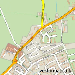
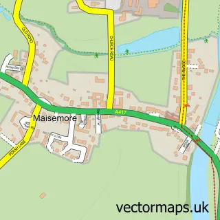
More street maps in Gloucestershire
750 metre map area coverage
Boundary, postcode and point of interest information for the 750m x 750m rectangle centred on this sample map.
Boundaries containing map centre
Constituency: Tewkesbury Co Const
County: Gloucestershire County
District: Tewkesbury District (B)
Icb: NHS Gloucestershire ICB
Parish: Longford CP
Police Force: gloucestershire
Postcode District: GL2
Postcode Sector: GL2 9
Ward: Innsworth Ward
Nearby boundaries intersecting sample
Constituency: Gloucester Boro Const
District: Gloucester District (B)
Ward: Kingsholm & Wotton Ward, Longlevens Ward
Postcode coverage
POI category counts
Hospital: 2
Rental Kiosks: 2
Active Life: 1
Advertising Agency: 1
Agricultural Service: 1
Architect: 1
Assisted Living Facility: 1
Bed And Breakfast: 1
Building Supply Store: 1
Car Dealer: 1
Sample points of interest
- Oxstalls Sports Park
- Litchfield Morris
- Perrycroft Bees
- Ronson Reclaim
- Victoria Court Sheltered Housing
- Longford Mews
- Cotswold Driveways
- A B Select
- Longford Hand Car Wash
- Costa Express
- Longford Village Hall
- C & R Landscapes
Create a larger editable map of Longford
This sample shows only a 750 metre area. To create a larger map of Longford, use our map builder to choose your own coverage area, add titles and download editable SVG, PDF and PNG files.
Create a custom map of Longford