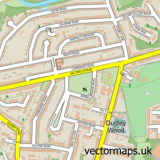
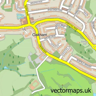
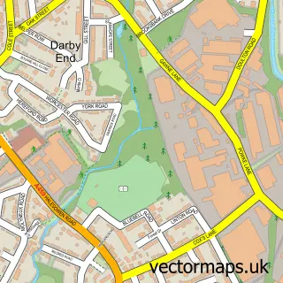
This Old Hill street map is a detailed vector street map covering a 750m x 750m area. Select a larger area to create and download your own vector street map of Old Hill.
The 750-metre map sample for Old Hill covers 424 mapped buildings and approximately 68.1 km of road detail, of which 53 named roads are named. The immediate area includes 2 primary schools and 1 secondary school, 2 GP surgeries, with 13 within 2 miles, 4 pubs and 1 MOT station, with 63 within 2 miles. The wider area around Old Hill features 1 tourism point of interest and 12 food and drink venues. To create a larger or custom map of Old Hill, the map builder lets you define your own coverage area and download editable SVG, PDF and PNG files.
Create a larger editable map of Old Hill
Choose any area you need and generate a high-quality vector map instantly. Perfect for print, planning, design, business and personal use.

This Old Hill street map in West Midlands is available as downloadable SVG, PDF and PNG map files, or as a printed map for planning, business, display, education, local information and design work. You can also create a larger custom map area using the map selector.
What this Old Hill map sample shows
Old Hill lies within Sandwell District (B) parish, part of Blackheath ward in the Sandwell District (B) local authority area. The postcode geography for this area includes the B postcode area, the B65 postcode district and the B65 0 postcode sector. Residents fall under the Nhs Black Country Integrated Care Board for NHS services.
Local features near Old Hill
Within 2 milesAmenities and services in and around Old Hill.
Administrative and postcode information for Old Hill
The local authority covering Old Hill is Sandwell District (B), within the county of West Midlands. The settlement lies within Blackheath ward and Sandwell District (B) civil parish. The B65 postcode district and B65 0 postcode sector serve the immediate area. NHS provision in the area is delivered through The Dudley Group Nhs Foundation Trust.
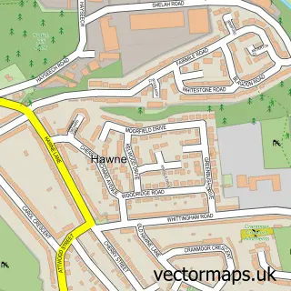
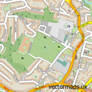
Nearby street map samples around Old Hill


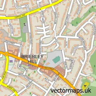
More street maps in West Midlands
750 metre map area coverage
Boundary, postcode and point of interest information for the 750m x 750m rectangle centred on this sample map.
Boundaries containing map centre
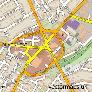
Constituency: Halesowen Boro Const
District: Sandwell District (B)
Icb: NHS Black Country ICB
Police Force: west midlands
Postcode District: B64
Postcode Sector: B64 6
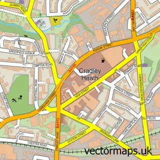
Ward: Cradley Heath and Old Hill Ward
Nearby boundaries intersecting sample
Constituency: West Bromwich Boro Const
District: Dudley District (B)
Postcode District: DY2
Postcode Sector: B64 5, DY2 9
Ward: Quarry Bank & Dudley Wood Ward, Rowley Ward
Postcode coverage
POI category counts
Building Supply Store: 5
Fast Food Restaurant: 5
Hair Salon: 4
Pub: 4
Restaurant: 4
Automotive Parts And Accessories: 3
Beauty Salon: 3
Cafe: 3
Church Cathedral: 3
Convenience Store: 3
Sample points of interest
- Holy Trinity, Old Hill
- R J Appliance Repairs
- The Crafty Coven Shops
- Inshore Support
- ATM (Post Office)
- MCP Car Painting Ltd.
- Cars Parts and Accessories
- Complete Auto Repair Services
- MJ Wheels
- FR Motors MOT
- InstaVolt Charging Station
- GREGGS
Create a larger editable map of Old Hill
This sample shows only a 750 metre area. To create a larger map of Old Hill, use our map builder to choose your own coverage area, add titles and download editable SVG, PDF and PNG files.
Create a custom map of Old Hill