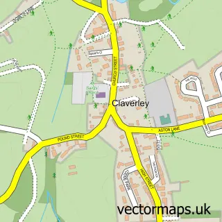
This Pattingham street map is a detailed vector street map covering a 750m x 750m area. Select a larger area to create and download your own vector street map of Pattingham.
The 750-metre map sample for Pattingham covers 369 mapped buildings and approximately 57.3 km of road detail, of which 35 named roads are named. The immediate area includes 3 pubs. The wider area around Pattingham features 1 tourism point of interest and 4 food and drink venues. To create a larger or custom map of Pattingham, the map builder lets you define your own coverage area and download editable SVG, PDF and PNG files.
Create a larger editable map of Pattingham
Choose any area you need and generate a high-quality vector map instantly. Perfect for print, planning, design, business and personal use.

This Pattingham street map in Staffordshire is available as downloadable SVG, PDF and PNG map files, or as a printed map for planning, business, display, education, local information and design work. You can also create a larger custom map area using the map selector.
What this Pattingham map sample shows
Pattingham lies within Pattingham And Patshull Cp parish, part of Pattingham And Patshull ward in the South Staffordshire District local authority area. The postcode geography for this area includes the WV postcode area, the WV6 postcode district and the WV6 7 postcode sector. Residents fall under the Nhs Staffordshire And Stoke-On-Trent Integrated Care Board for NHS services.
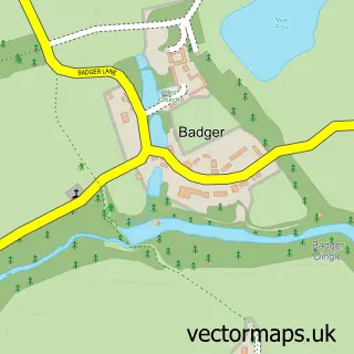
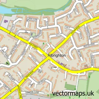
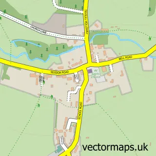
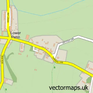
Local features near Pattingham
Within 2 milesAmenities and services in and around Pattingham.
Administrative and postcode information for Pattingham
The local authority covering Pattingham is South Staffordshire District, within the county of Staffordshire. The settlement lies within Pattingham And Patshull ward and Pattingham And Patshull Cp civil parish. The WV6 postcode district and WV6 7 postcode sector serve the immediate area. NHS provision in the area is delivered through The Royal Wolverhampton Nhs Trust.
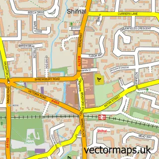
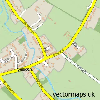
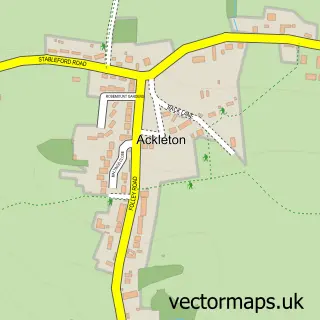
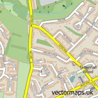
Nearby street map samples around Pattingham

More street maps in Staffordshire
750 metre map area coverage
Boundary, postcode and point of interest information for the 750m x 750m rectangle centred on this sample map.
Boundaries containing map centre
Constituency: Kingswinford and South Staffordshire Co Const
County: Staffordshire County
District: South Staffordshire District
Icb: NHS Black Country ICB
Parish: Pattingham and Patshull CP
Police Force: staffordshire
Postcode District: WV6
Postcode Sector: WV6 7
Ward: Pattingham, Trysull, Bobbington & Lower Penn Ward
Nearby boundaries intersecting sample
No additional intersecting boundaries found.
Postcode coverage
POI category counts
Professional Services: 3
Pub: 3
Butcher Shop: 2
Church Cathedral: 2
Hair Salon: 2
Advertising Agency: 1
Amusement Park: 1
Anglican Church: 1
Bar: 1
Beauty And Spa: 1
Sample points of interest
- Copidate Technical Publicity
- Rudge Estate Riding
- St Chad's Church, Pattingham with Patshull
- Crown Inn
- Atticus&Olive
- CyChloe Repairs
- Home Trim
- Martin Thomas Butchers
- Martin Thomas Butchers
- Lychgate Coffee
- St Chad's C of E Church Pattingham
- St Chad's Church
Create a larger editable map of Pattingham
This sample shows only a 750 metre area. To create a larger map of Pattingham, use our map builder to choose your own coverage area, add titles and download editable SVG, PDF and PNG files.
Create a custom map of Pattingham