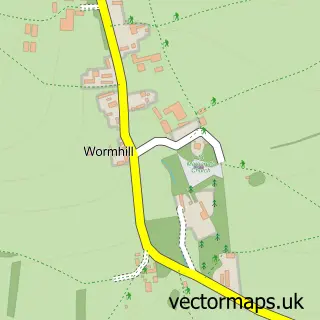
This Peak Forest street map is a detailed vector street map covering a 750m x 750m area. Select a larger area to create and download your own vector street map of Peak Forest.
The 750-metre map sample for Peak Forest covers 91 mapped buildings and approximately 12.0 km of road detail, of which 5 named roads are named. The immediate area includes 1 school and 2 pubs. The wider area around Peak Forest features 3 food and drink venues. To create a larger or custom map of Peak Forest, the map builder lets you define your own coverage area and download editable SVG, PDF and PNG files.
Create a larger editable map of Peak Forest
Choose any area you need and generate a high-quality vector map instantly. Perfect for print, planning, design, business and personal use.

This Peak Forest street map in Derbyshire is available as downloadable SVG, PDF and PNG map files, or as a printed map for planning, business, display, education, local information and design work. You can also create a larger custom map area using the map selector.
What this Peak Forest map sample shows
Peak Forest lies within Peak Forest Cp parish, part of Hope Valley ward in the High Peak District (B) local authority area. The postcode geography for this area includes the SK postcode area, the SK17 postcode district and the SK17 8 postcode sector. Residents fall under the Nhs Derby And Derbyshire Integrated Care Board for NHS services.
Local features near Peak Forest
Within 2 milesAmenities and services in and around Peak Forest.
Administrative and postcode information for Peak Forest
Peak Forest lies within Peak Forest Cp parish, part of Hope Valley ward in the High Peak District (B) local authority area. The postcode geography for this area includes the SK postcode area, the SK17 postcode district and the SK17 8 postcode sector. Residents fall under the Nhs Derby And Derbyshire Integrated Care Board for NHS services.
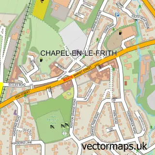
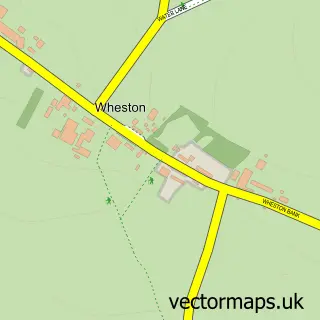
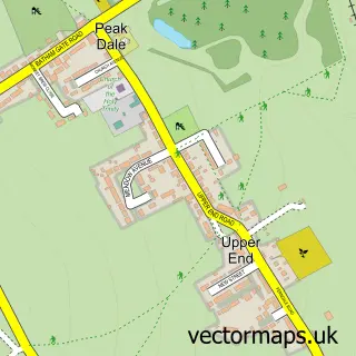
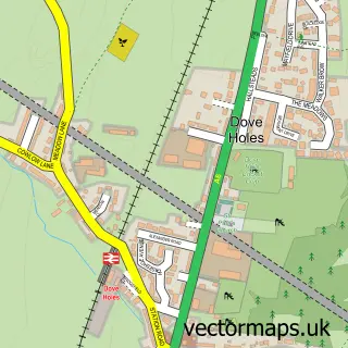
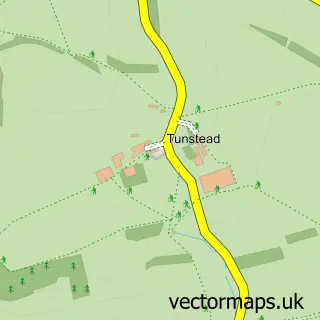
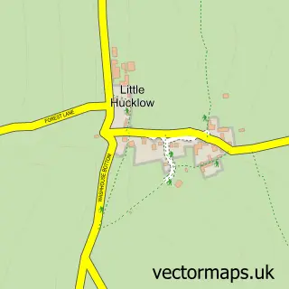
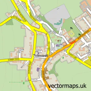
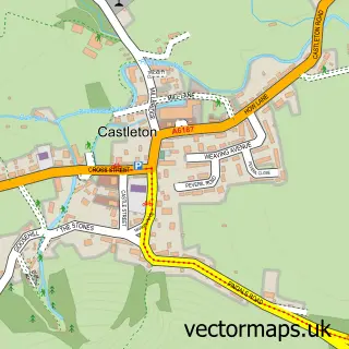
Nearby street map samples around Peak Forest

More street maps in Derbyshire
750 metre map area coverage
Boundary, postcode and point of interest information for the 750m x 750m rectangle centred on this sample map.
Boundaries containing map centre
Constituency: High Peak Co Const
County: Derbyshire County
District: High Peak District (B)
Icb: NHS Derby and Derbyshire ICB
Parish: Peak Forest CP
Police Force: derbyshire
Postcode District: SK17
Postcode Sector: SK17 8
Ward: Hope Valley Ward
Nearby boundaries intersecting sample
No additional intersecting boundaries found.
Postcode coverage
POI category counts
Education: 2
Pub: 2
Active Life: 1
Adult Education: 1
Anglican Church: 1
Furniture Store: 1
Restaurant: 1
Shipping Center: 1
Storage Facility: 1
Sample points of interest
- Buxton Raceway
- Cardinal Learning
- Charles, King & Martyr
- Peak Forest Church of England Voluntary Controlled Primary School
- Peak Forest Church of England Voluntary Controlled Primary School
- Arrow Furniture
- Devonshire Arms
- Devonshire Arms
- The Olive Tree Farm shop and Cafe
- Post Office-Litton
- Asap Removals Ltd & Storage
Create a larger editable map of Peak Forest
This sample shows only a 750 metre area. To create a larger map of Peak Forest, use our map builder to choose your own coverage area, add titles and download editable SVG, PDF and PNG files.
Create a custom map of Peak Forest