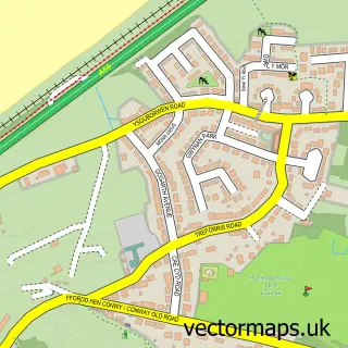
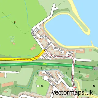
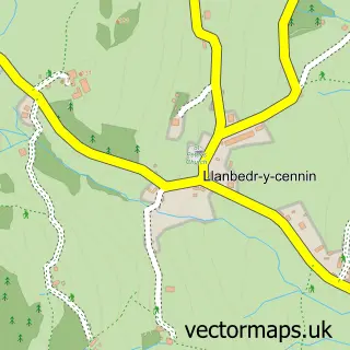
This Penmaenmawr street map is a detailed vector street map covering a 750m x 750m area. Select a larger area to create and download your own vector street map of Penmaenmawr.
The 750-metre map sample for Penmaenmawr covers 399 mapped buildings and approximately 24.7 km of road detail, of which 40 named roads are named. The immediate area includes 1 railway station, 1 pub and 1 MOT station. The wider area around Penmaenmawr features 2 tourism points of interest, 3 food and drink venues and 3 campsites within 2 miles. To create a larger or custom map of Penmaenmawr, the map builder lets you define your own coverage area and download editable SVG, PDF and PNG files.
Create a larger editable map of Penmaenmawr
Choose any area you need and generate a high-quality vector map instantly. Perfect for print, planning, design, business and personal use.

This Penmaenmawr street map in Clwyd is available as downloadable SVG, PDF and PNG map files, or as a printed map for planning, business, display, education, local information and design work. You can also create a larger custom map area using the map selector.
What this Penmaenmawr map sample shows
Penmaenmawr lies within Penmaenmawr Community parish, part of Pant-Yr-Afon/Penmaenan ward in the Conwy - Conwy local authority area. The postcode geography for this area includes the LL postcode area, the LL34 postcode district and the LL34 6 postcode sector. Residents fall under the Betsi Cadwaladr University Health Board for NHS services.
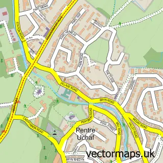
Local features near Penmaenmawr
Within 2 milesAmenities and services in and around Penmaenmawr.
Administrative and postcode information for Penmaenmawr
Penmaenmawr lies within Penmaenmawr Community parish, part of Pant-Yr-Afon/Penmaenan ward in the Conwy - Conwy local authority area. The postcode geography for this area includes the LL postcode area, the LL34 postcode district and the LL34 6 postcode sector. Residents fall under the Betsi Cadwaladr University Health Board for NHS services.
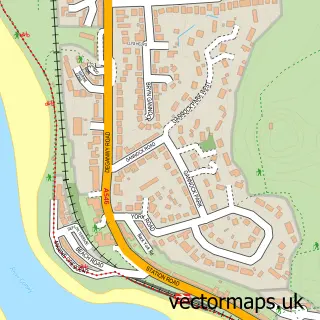
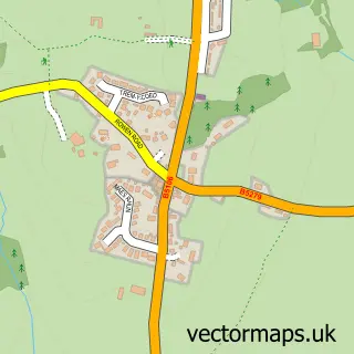
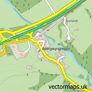
Nearby street map samples around Penmaenmawr

More street maps in Clwyd
750 metre map area coverage
Boundary, postcode and point of interest information for the 750m x 750m rectangle centred on this sample map.
Boundaries containing map centre
Constituency: Bangor Aberconwy Co Const
District: Conwy - Conwy
Icb: Betsi Cadwaladr University
Parish: Penmaenmawr Community
Police Force: north wales
Postcode District: LL34
Postcode Sector: LL34 6
Nearby boundaries intersecting sample
No additional intersecting boundaries found.
Postcode coverage
POI category counts
Adult Education: 2
Automotive Repair: 2
Cafe: 2
Community Center: 2
Furniture Manufacturers: 2
It Service And Computer Repair: 2
Shipping Center: 2
Train Station: 2
Accountant: 1
Active Life: 1
Sample points of interest
- Digital Accounting
- Aber Falls. Abergwyngregin
- The Present
- The Present
- Aliscrafts
- The Gables
- PayPoint
- Chris Hughes Mobile Mechanic
- Owens MOT & Garage Services
- Penmaenmawr Bakery
- NatWest Mobile Branch
- Versace Unisex Barber
Create a larger editable map of Penmaenmawr
This sample shows only a 750 metre area. To create a larger map of Penmaenmawr, use our map builder to choose your own coverage area, add titles and download editable SVG, PDF and PNG files.
Create a custom map of Penmaenmawr