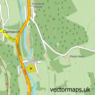
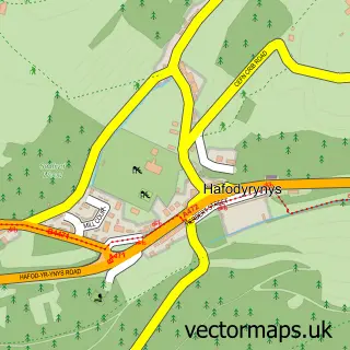
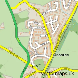
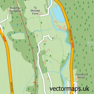
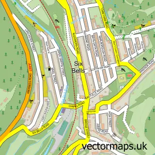
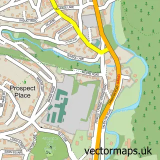
This Pontypool street map is a detailed vector street map covering a 750m x 750m area. Select a larger area to create and download your own vector street map of Pontypool.
The 750-metre map sample for Pontypool covers 314 mapped buildings and approximately 67.0 km of road detail, of which 42 named roads are named. The immediate area includes 1 school, 1 GP surgery within 2 miles, 6 pubs and 15 MOT stations within 2 miles. The wider area around Pontypool features 2 tourism points of interest, 12 food and drink venues and 3 hotels. To create a larger or custom map of Pontypool, the map builder lets you define your own coverage area and download editable SVG, PDF and PNG files.
Create a larger editable map of Pontypool
Choose any area you need and generate a high-quality vector map instantly. Perfect for print, planning, design, business and personal use.

This Pontypool street map in Gwent is available as downloadable SVG, PDF and PNG map files, or as a printed map for planning, business, display, education, local information and design work. You can also create a larger custom map area using the map selector.
What this Pontypool map sample shows
Pontypool lies within Pen Tranch Community parish, part of Wainfelin ward in the Torfaen - Torfaen local authority area. The postcode geography for this area includes the NP postcode area, the NP4 postcode district and the NP4 6 postcode sector. Residents fall under the Aneurin Bevan University Health Board for NHS services.
Local features near Pontypool
Within 2 milesAmenities and services in and around Pontypool.
Administrative and postcode information for Pontypool
The local authority covering Pontypool is Torfaen - Torfaen, within the county of Gwent. The settlement lies within Wainfelin ward and Pen Tranch Community civil parish. The NP4 postcode district and NP4 6 postcode sector serve the immediate area. NHS provision in the area is delivered through Aneurin Bevan University Health Board.
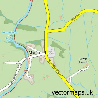
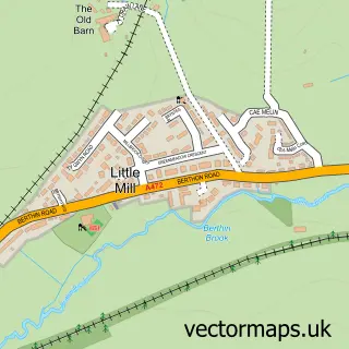
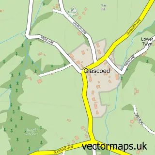
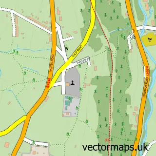
Nearby street map samples around Pontypool

More street maps in Gwent
750 metre map area coverage
Boundary, postcode and point of interest information for the 750m x 750m rectangle centred on this sample map.
Boundaries containing map centre
Constituency: Torfaen Co Const
District: Torfaen - Torfaen
Icb: Aneurin Bevan University
Parish: Pontymoile Community
Police Force: gwent
Postcode District: NP4
Postcode Sector: NP4 6
Nearby boundaries intersecting sample
Parish: Pen Tranch Community, Trevethin Community
Postcode Sector: NP4 5, NP4 8
Postcode coverage
POI category counts
Hair Salon: 10
Beauty Salon: 9
Charity Organization: 8
Chinese Restaurant: 7
Pub: 6
Bank Credit Union: 5
Barber: 5
Grocery Store: 5
Gym: 5
Printing Services: 5
Sample points of interest
- Peter Price Accountants
- Stephen Napier & Co.
- RM Sport and Fitness
- The Go Local & Print Magazine
- Crow Valley Therapies
- Ragamuffins
- TGSB Markets & Events
- Ballyhoo Stage Arts
- Pontypool Brass
- The Hearing Care Partnership
- Pontypool Automatics LTD
- Valentines Tyres the name you can trust
Create a larger editable map of Pontypool
This sample shows only a 750 metre area. To create a larger map of Pontypool, use our map builder to choose your own coverage area, add titles and download editable SVG, PDF and PNG files.
Create a custom map of Pontypool