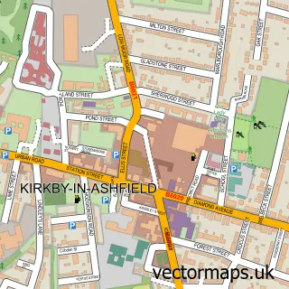
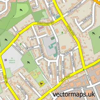
This Selston street map is a detailed vector street map covering a 750m x 750m area. Select a larger area to create and download your own vector street map of Selston.
The 750-metre map sample for Selston covers 471 mapped buildings and approximately 20.4 km of road detail, of which 28 named roads are named. The immediate area includes 1 primary school and 1 secondary school, 1 GP surgery, with 2 within 2 miles and 7 MOT stations within 2 miles. The wider area around Selston features 1 food and drink venue. To create a larger or custom map of Selston, the map builder lets you define your own coverage area and download editable SVG, PDF and PNG files.
Create a larger editable map of Selston
Choose any area you need and generate a high-quality vector map instantly. Perfect for print, planning, design, business and personal use.

This Selston street map in Nottinghamshire is available as downloadable SVG, PDF and PNG map files, or as a printed map for planning, business, display, education, local information and design work. You can also create a larger custom map area using the map selector.
What this Selston map sample shows
Selston lies within Selston Cp parish, part of Selston ward in the Ashfield District local authority area. The postcode geography for this area includes the NG postcode area, the NG16 postcode district and the NG16 6 postcode sector. Residents fall under the Nhs Nottingham And Nottinghamshire Integrated Care Board for NHS services.
Local features near Selston
Within 2 milesAmenities and services in and around Selston.
Administrative and postcode information for Selston
The local authority covering Selston is Ashfield District, within the county of Nottinghamshire. The settlement lies within Selston ward and Selston Cp civil parish. The NG16 postcode district and NG16 6 postcode sector serve the immediate area. NHS provision in the area is delivered through Sherwood Forest Hospitals Nhs Foundation Trust.
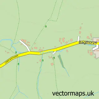
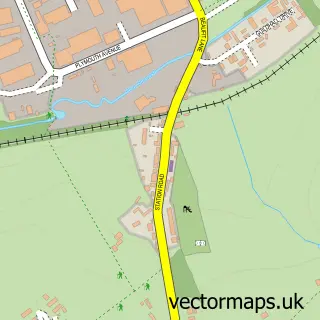
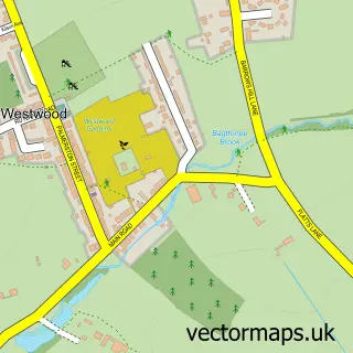
Nearby street map samples around Selston


More street maps in Nottinghamshire
750 metre map area coverage
Boundary, postcode and point of interest information for the 750m x 750m rectangle centred on this sample map.
Boundaries containing map centre
Constituency: Ashfield Co Const
County: Nottinghamshire County
District: Ashfield District
Icb: NHS Nottingham and Nottinghamshire ICB
Parish: Selston CP
Police Force: nottinghamshire
Postcode District: NG16
Postcode Sector: NG16 6
Ward: Selston Ward
Nearby boundaries intersecting sample
No additional intersecting boundaries found.
Postcode coverage
POI category counts
Gas Station: 4
Convenience Store: 3
Library: 3
Community Center: 2
Gym: 2
Home Service: 2
Package Locker: 2
Rental Kiosks: 2
Sports Club And League: 2
Alternative Medicine: 1
Sample points of interest
- Dunning Charles
- JJS Architecture ltd
- The Cooperative Food (BF) Selston, Selston
- Al's Sports Bar.
- Cut Above Selston
- R Taylor Wood Flooring Specialists
- Wise Eater
- Costa Express
- Selston Base 16 Community Centre
- Tin Hat Centre
- Selston Parish Hall
- A & C Joinery and Building Services
Create a larger editable map of Selston
This sample shows only a 750 metre area. To create a larger map of Selston, use our map builder to choose your own coverage area, add titles and download editable SVG, PDF and PNG files.
Create a custom map of Selston