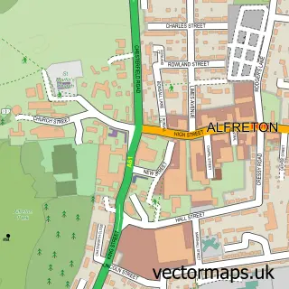
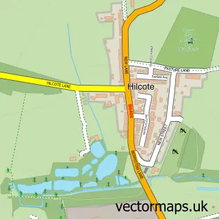
This Pinxton street map is a detailed vector street map covering a 750m x 750m area. Select a larger area to create and download your own vector street map of Pinxton.
The 750-metre map sample for Pinxton covers 578 mapped buildings and approximately 24.3 km of road detail, of which 36 named roads are named. The immediate area includes 3 schools, 2 GP surgeries within 2 miles, 4 pubs and 8 MOT stations within 2 miles. The wider area around Pinxton features 6 food and drink venues. To create a larger or custom map of Pinxton, the map builder lets you define your own coverage area and download editable SVG, PDF and PNG files.
Create a larger editable map of Pinxton
Choose any area you need and generate a high-quality vector map instantly. Perfect for print, planning, design, business and personal use.

This Pinxton street map in Derbyshire is available as downloadable SVG, PDF and PNG map files, or as a printed map for planning, business, display, education, local information and design work. You can also create a larger custom map area using the map selector.
What this Pinxton map sample shows
Pinxton lies within Pinxton Cp parish, part of Pinxton ward in the Bolsover District local authority area. The postcode geography for this area includes the NG postcode area, the NG16 postcode district and the NG16 6 postcode sector. Residents fall under the Nhs Derby And Derbyshire Integrated Care Board for NHS services.
Local features near Pinxton
Within 2 milesAmenities and services in and around Pinxton.
Administrative and postcode information for Pinxton
Pinxton lies within Pinxton Cp parish, part of Pinxton ward in the Bolsover District local authority area. The postcode geography for this area includes the NG postcode area, the NG16 postcode district and the NG16 6 postcode sector. Residents fall under the Nhs Derby And Derbyshire Integrated Care Board for NHS services.
Nearby street map samples around Pinxton


More street maps in Derbyshire
750 metre map area coverage
Boundary, postcode and point of interest information for the 750m x 750m rectangle centred on this sample map.
Boundaries containing map centre
Constituency: Bolsover Co Const
County: Derbyshire County
District: Bolsover District
Icb: NHS Derby and Derbyshire ICB
Parish: Pinxton CP
Police Force: derbyshire
Postcode District: NG16
Postcode Sector: NG16 6
Ward: Pinxton Ward
Nearby boundaries intersecting sample
No additional intersecting boundaries found.
Postcode coverage
POI category counts
Automotive Repair: 4
Engineering Services: 4
Hair Salon: 4
Industrial Equipment: 4
Pub: 4
Beauty Salon: 3
Garbage Collection Service: 3
Retail: 3
Atms: 2
Beauty And Spa: 2
Sample points of interest
- Just Vacuums
- Wharf Aquatics
- PayPoint
- The Cooperative Food Pinxton
- Phoenix Upholstery
- Crofts Vehicle Services & Mot Centre
- Safe Car Breakers
- 5 Speed Automotive Engineering
- Dil's Bodywork Specialist
- Dils Bodywork Specialist EM
- MJS Recovery & Son
- CC Aesthetics and Beauty
Create a larger editable map of Pinxton
This sample shows only a 750 metre area. To create a larger map of Pinxton, use our map builder to choose your own coverage area, add titles and download editable SVG, PDF and PNG files.
Create a custom map of Pinxton