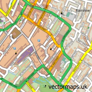
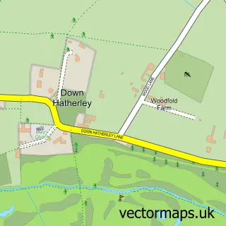
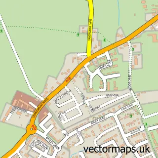
This Staverton street map is a detailed vector street map covering a 750m x 750m area. Select a larger area to create and download your own vector street map of Staverton.
The 750-metre map sample for Staverton covers 85 mapped buildings and approximately 23.1 km of road detail, of which 3 named roads are named. The immediate area includes 2 GP surgeries within 2 miles and 7 MOT stations within 2 miles. The wider area around Staverton features 1 campsite within 2 miles. To create a larger or custom map of Staverton, the map builder lets you define your own coverage area and download editable SVG, PDF and PNG files.
Create a larger editable map of Staverton
Choose any area you need and generate a high-quality vector map instantly. Perfect for print, planning, design, business and personal use.

This Staverton street map in Gloucestershire is available as downloadable SVG, PDF and PNG map files, or as a printed map for planning, business, display, education, local information and design work. You can also create a larger custom map area using the map selector.
What this Staverton map sample shows
Staverton lies within Staverton Cp parish, part of Badgeworth ward in the Tewkesbury District (B) local authority area. The postcode geography for this area includes the GL postcode area, the GL51 postcode district and the GL51 0 postcode sector. Residents fall under the Nhs Gloucestershire Integrated Care Board for NHS services.
Local features near Staverton
Within 2 milesAmenities and services in and around Staverton.
Administrative and postcode information for Staverton
The local authority covering Staverton is Tewkesbury District (B), within the county of Gloucestershire. The settlement lies within Badgeworth ward and Staverton Cp civil parish. The GL51 postcode district and GL51 0 postcode sector serve the immediate area. NHS provision in the area is delivered through Gloucestershire Hospitals Nhs Foundation Trust.
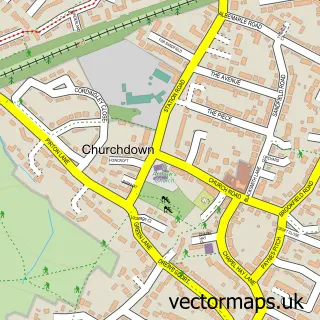
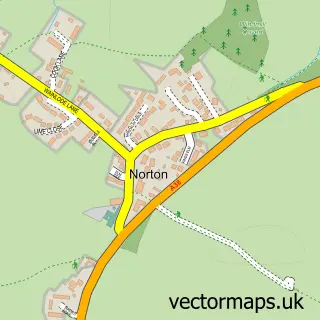
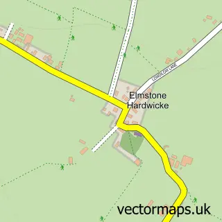
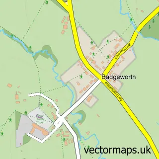
Nearby street map samples around Staverton

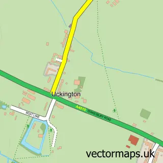
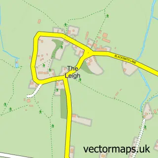
More street maps in Gloucestershire
750 metre map area coverage
Boundary, postcode and point of interest information for the 750m x 750m rectangle centred on this sample map.
Boundaries containing map centre
Constituency: North Cotswolds Co Const
County: Gloucestershire County
District: Tewkesbury District (B)
Icb: NHS Gloucestershire ICB
Parish: Staverton CP
Police Force: gloucestershire
Postcode District: GL51
Postcode Sector: GL51 0
Ward: Badgeworth Ward
Nearby boundaries intersecting sample
No additional intersecting boundaries found.
Postcode coverage
POI category counts
Accountant: 1
Anglican Church: 1
Aquarium: 1
Building Supply Store: 1
Business Management Services: 1
Car Wash: 1
Contractor: 1
Dog Park: 1
Dog Trainer: 1
Flight School: 1
Sample points of interest
- Hazlewoods
- Parish of Staverton with Boddington
- Boddington Koi Co
- Eleven Builders
- Conault Design
- Car Care Automotive Ltd
- Presa Construction
- Contented Canine Secure Dog Fields
- Contented Canine Training & Scentwork Hub
- EagleFlight.Training
- Conault Design
- Asena Guitar Academy
Create a larger editable map of Staverton
This sample shows only a 750 metre area. To create a larger map of Staverton, use our map builder to choose your own coverage area, add titles and download editable SVG, PDF and PNG files.
Create a custom map of Staverton