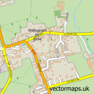
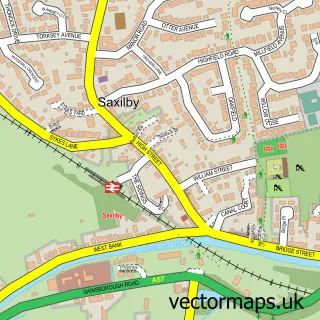
This Sturton by Stow street map is a detailed vector street map covering a 750m x 750m area. Select a larger area to create and download your own vector street map of Sturton by Stow.
The 750-metre map sample for Sturton by Stow covers 364 mapped buildings and approximately 15.0 km of road detail, of which 19 named roads are named. The immediate area includes 1 pub. The wider area around Sturton by Stow features 3 tourism points of interest and 2 food and drink venues. To create a larger or custom map of Sturton by Stow, the map builder lets you define your own coverage area and download editable SVG, PDF and PNG files.
Create a larger editable map of Sturton by Stow
Choose any area you need and generate a high-quality vector map instantly. Perfect for print, planning, design, business and personal use.

This Sturton by Stow street map in Lincolnshire is available as downloadable SVG, PDF and PNG map files, or as a printed map for planning, business, display, education, local information and design work. You can also create a larger custom map area using the map selector.
What this Sturton by Stow map sample shows
Sturton by Stow lies within Sturton By Stow Cp parish, part of Stow ward in the West Lindsey District local authority area. The postcode geography for this area includes the LN postcode area, the LN1 postcode district and the LN1 2 postcode sector. Residents fall under the Nhs Lincolnshire Integrated Care Board for NHS services.
Local features near Sturton by Stow
Within 2 milesAmenities and services in and around Sturton by Stow.
Administrative and postcode information for Sturton by Stow
Sturton by Stow lies within Sturton By Stow Cp parish, part of Stow ward in the West Lindsey District local authority area. The postcode geography for this area includes the LN postcode area, the LN1 postcode district and the LN1 2 postcode sector. Residents fall under the Nhs Lincolnshire Integrated Care Board for NHS services.
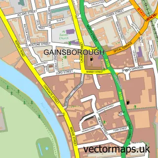
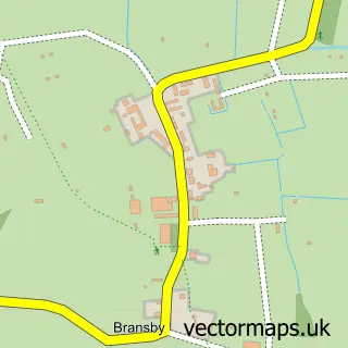
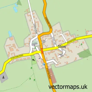
Nearby street map samples around Sturton by Stow


More street maps in Lincolnshire
750 metre map area coverage
Boundary, postcode and point of interest information for the 750m x 750m rectangle centred on this sample map.
Boundaries containing map centre
Constituency: Gainsborough Co Const
County: Lincolnshire County
District: West Lindsey District
Icb: NHS Lincolnshire ICB
Parish: Sturton By Stow CP
Police Force: lincolnshire
Postcode District: LN1
Postcode Sector: LN1 2
Ward: Stow Ward
Nearby boundaries intersecting sample
No additional intersecting boundaries found.
Postcode coverage
POI category counts
Convenience Store: 5
Contractor: 2
Freight And Cargo Service: 2
Park: 2
Animal Shelter: 1
Architectural Designer: 1
Bar: 1
Beauty Salon: 1
Business: 1
Cafe: 1
Sample points of interest
- Sturton by Stow Guinea Pig and Rabbit Sanctuary
- Grey Castle Architectural
- The Red Lion
- Milk and Honey
- Lincoln Refrigeration
- Tillbridge Tastery
- Sturton by Stow Village Hall
- Lincon
- MR Paving
- Smooth Finishing Plastering Services
- Lincolnshire Co-op Sturton By Stow Food Store
- Premier
Create a larger editable map of Sturton by Stow
This sample shows only a 750 metre area. To create a larger map of Sturton by Stow, use our map builder to choose your own coverage area, add titles and download editable SVG, PDF and PNG files.
Create a custom map of Sturton by Stow