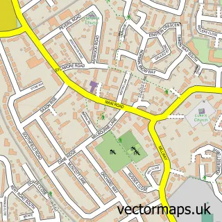
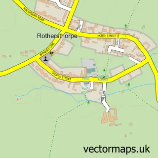
This Upton street map is a detailed vector street map covering a 750m x 750m area. Select a larger area to create and download your own vector street map of Upton.
The 750-metre map sample for Upton covers 288 mapped buildings and approximately 41.2 km of road detail, of which 38 named roads are named. The immediate area includes 1 school, 1 GP surgery within 2 miles and 26 MOT stations within 2 miles. The wider area around Upton features 3 tourism points of interest, 3 food and drink venues and 2 hotels. To create a larger or custom map of Upton, the map builder lets you define your own coverage area and download editable SVG, PDF and PNG files.
Create a larger editable map of Upton
Choose any area you need and generate a high-quality vector map instantly. Perfect for print, planning, design, business and personal use.

This Upton street map in Northamptonshire is available as downloadable SVG, PDF and PNG map files, or as a printed map for planning, business, display, education, local information and design work. You can also create a larger custom map area using the map selector.
What this Upton map sample shows
Upton lies within Duston Cp parish, part of Old Duston ward in the West Northamptonshire local authority area. The postcode geography for this area includes the NN postcode area, the NN5 postcode district and the NN5 6 postcode sector. Residents fall under the Nhs Northamptonshire Integrated Care Board for NHS services.
Local features near Upton
Within 2 milesAmenities and services in and around Upton.
Administrative and postcode information for Upton
Upton lies within Duston Cp parish, part of Old Duston ward in the West Northamptonshire local authority area. The postcode geography for this area includes the NN postcode area, the NN5 postcode district and the NN5 6 postcode sector. Residents fall under the Nhs Northamptonshire Integrated Care Board for NHS services.
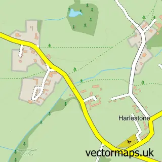
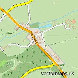
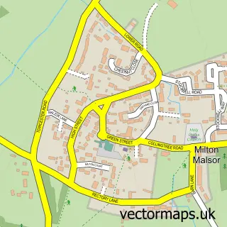
Nearby street map samples around Upton


More street maps in Northamptonshire
750 metre map area coverage
Boundary, postcode and point of interest information for the 750m x 750m rectangle centred on this sample map.
Boundaries containing map centre
Constituency: Northampton South Boro Const
District: West Northamptonshire
Icb: NHS Northamptonshire ICB
Parish: Upton CP
Police Force: northamptonshire
Postcode District: NN5
Postcode Sector: NN5 4
Ward: Upton Ward
Nearby boundaries intersecting sample
Parish: Duston CP
Postcode Sector: NN5 5, NN5 6
Ward: Duston Ward
Postcode coverage
POI category counts
Professional Services: 4
Automotive: 2
Beauty And Spa: 2
Beauty Salon: 2
Church Cathedral: 2
Coffee Shop: 2
Home Service: 2
Hotel: 2
Landmark And Historical Building: 2
Vitamins And Supplements: 2
Sample points of interest
- Grace Church Duston
- Live Performers
- KFRVS KF Remapping & Vehicle Services
- Z P Roche services
- Magda's Home-baked Cakes
- E. Turcan’s room
- Head INK SMP
- Hairstyle made by Inna
- Thao's nails
- Highfield St. James
- Valentine's Bistro
- Alpha Contracts Leasing
Create a larger editable map of Upton
This sample shows only a 750 metre area. To create a larger map of Upton, use our map builder to choose your own coverage area, add titles and download editable SVG, PDF and PNG files.
Create a custom map of Upton