Vector Maps logo
Home Why it works Popular maps Districts Samples Customizer Create Your Map
VectorMaps.uk
Home Popular maps Districts Samples Customizer Create Your Map Privacy Disclaimer
Home / UK Maps / Northamptonshire / Welford Map

This Welford street map is a detailed vector street map covering a 750m x 750m area. Select a larger area to create and download your own vector street map of Welford.

Welford is a village in Northamptonshire, in the East Midlands of England. The settlement falls within the Daventry parliamentary constituency. It is served by the NN6 postcode district, with NN6 6 as the local postcode sector.

The 750-metre map sample for Welford covers 228 mapped buildings and approximately 14.1 km of road detail, of which 14 named roads are named. The immediate area includes 1 school and 2 MOT stations within 2 miles. The wider area around Welford features 1 tourism point of interest. To create a larger or custom map of Welford, the map builder lets you define your own coverage area and download editable SVG, PDF and PNG files.

228Buildings
14.13 kmRoads
14Named roads
568Residents within 2 miles
Create your own

Create a larger editable map of Welford

Choose any area you need and generate a high-quality vector map instantly. Perfect for print, planning, design, business and personal use.

Choose any location
Editable SVG files
Any size up to A0
PDF, PNG & more
Instant download
High quality guaranteed
Create My Custom Map
Secure, private & no credit card required
Welford Vector Street Map
750m Sample
Welford vector street map sample showing roads, buildings and local features in a 750 metre preview area
Buy Welford Map Print from £12.95 Buy Welford Digital Map from £6

This Welford street map in Northamptonshire is available as downloadable SVG, PDF and PNG map files, or as a printed map for planning, business, display, education, local information and design work. You can also create a larger custom map area using the map selector.

What this Welford map sample shows

Welford lies within Welford Cp parish, part of Welford ward in the West Northamptonshire local authority area. The postcode geography for this area includes the NN postcode area, the NN6 postcode district and the NN6 6 postcode sector. Residents fall under the Nhs Northamptonshire Integrated Care Board for NHS services.

Local features near Welford

Within 2 miles

Amenities and services in and around Welford.

1 Schools
2 MOT stations within 2 miles
1 Tourism & leisure
1 Healthcare POIs
2 Vehicle services

Counts are approximate and based on publicly available data.

Administrative and postcode information for Welford

Welford lies within Welford Cp parish, part of Welford ward in the West Northamptonshire local authority area. The postcode geography for this area includes the NN postcode area, the NN6 postcode district and the NN6 6 postcode sector. Residents fall under the Nhs Northamptonshire Integrated Care Board for NHS services.

Parish Welford CP
Ward Welford
District / local authority West Northamptonshire
County Northamptonshire
Historic county Northamptonshire
Postcode district NN6
Postcode sector NN6 6
Parliamentary constituency Daventry
Region East Midlands
Country England

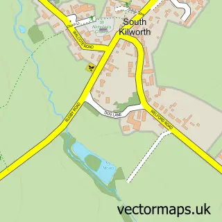
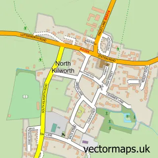
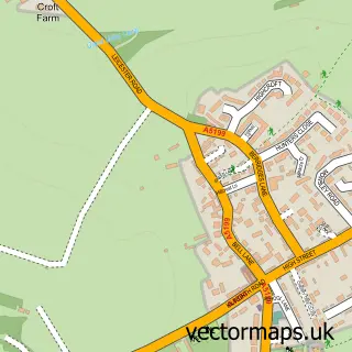
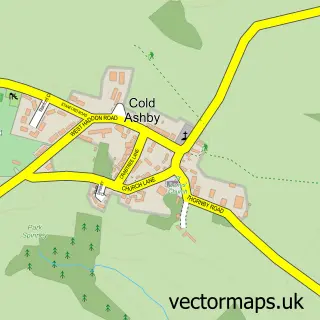
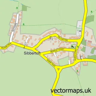
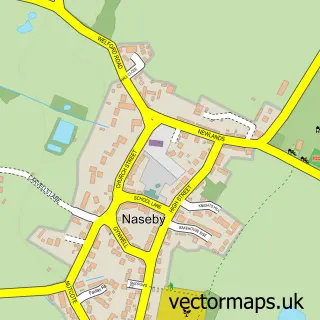
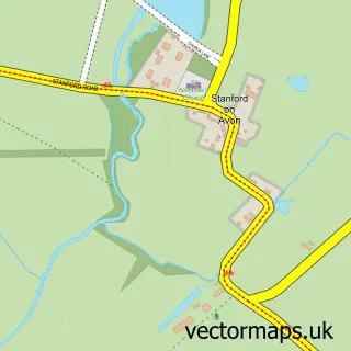
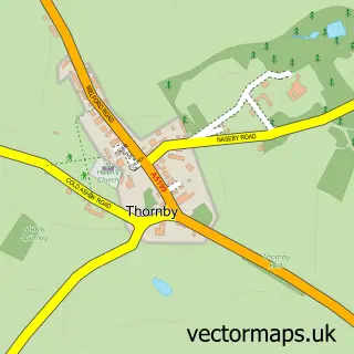
Nearby street map samples around Welford

Street map sample of Lutterworth, Leicestershire Lutterworth Town - Leicestershire - 6.4 miles Street map sample of Leicester, Leicestershire Leicester City - Leicestershire - 15.3 miles Street map sample of South Kilworth, Leicestershire South Kilworth Village - Leicestershire - 2.3 miles Street map sample of North Kilworth, Leicestershire North Kilworth Village - Leicestershire - 2.4 miles Street map sample of Husbands Bosworth, Leicestershire Husbands Bosworth Village - Leicestershire - 2.5 miles Street map sample of Cold Ashby, Northamptonshire Cold Ashby Village - Northamptonshire - 2.8 miles Street map sample of Sibbertoft, Northamptonshire Sibbertoft Village - Northamptonshire - 2.8 miles Street map sample of Naseby, Northamptonshire Naseby Village - Northamptonshire - 3.4 miles Street map sample of Stanford on Avon, Northamptonshire Stanford on Avon Village - Northamptonshire - 3.4 miles Street map sample of Thornby, Northamptonshire Thornby Village - Northamptonshire - 3.6 miles

More street maps in Northamptonshire

Street map sample of Cold Ashby, Northamptonshire Cold Ashby Village - 2.8 miles Street map sample of Sibbertoft, Northamptonshire Sibbertoft Village - 2.8 miles Street map sample of Naseby, Northamptonshire Naseby Village - 3.4 miles Street map sample of Stanford on Avon, Northamptonshire Stanford on Avon Village - 3.4 miles Street map sample of Thornby, Northamptonshire Thornby Village - 3.6 miles

750 metre map area coverage

Boundary, postcode and point of interest information for the 750m x 750m rectangle centred on this sample map.

Boundaries containing map centre

Constituency: Daventry Co Const

District: West Northamptonshire

Icb: NHS Northamptonshire ICB

Parish: Welford CP

Police Force: northamptonshire

Postcode District: NN6

Postcode Sector: NN6 6

Ward: Naseby Ward

Nearby boundaries intersecting sample

No additional intersecting boundaries found.

Postcode coverage

NN6 NN6 6

POI category counts

Accountant: 2

Church Cathedral: 2

Cleaning Services: 2

Convenience Store: 2

Preschool: 2

Scout Hall: 2

Shipping Center: 2

Anglican Church: 1

Automotive Repair: 1

Bar: 1

Sample points of interest

  • Adkins & Morris Rugby Ltd. Accountant
  • Beagle Accounting Limited Accountant
  • St Mary the Virgin : Welford Anglican Church
  • Welford Garage Automotive Repair
  • Elizabethan Restaurant Bar
  • Seradata Ltd. Business Management Services
  • Greens Country Kitchen Caterer
  • St Mary's Church Church Cathedral
  • Welford Congregational Church Church Cathedral
  • Key Skips Cleaning Services
  • Specialist Solutions Central Cleaning Services
  • Springfields Store Convenience Store

Create a larger editable map of Welford

This sample shows only a 750 metre area. To create a larger map of Welford, use our map builder to choose your own coverage area, add titles and download editable SVG, PDF and PNG files.

Create a custom map of Welford

Phone 01751 473136 | Copyright Vectormaps.uk 2026

Samples Customizer Privacy Disclaimer
Welford Vector Street Map
Welford enlarged street map sample showing a 750 metre preview area