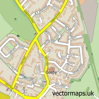
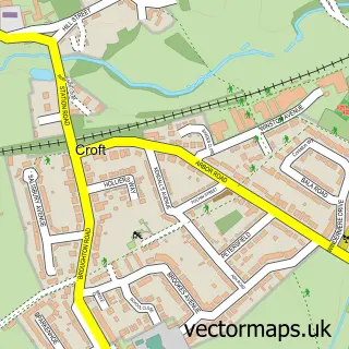
This Whetstone street map is a detailed vector street map covering a 750m x 750m area. Select a larger area to create and download your own vector street map of Whetstone.
The 750-metre map sample for Whetstone covers 430 mapped buildings and approximately 38.1 km of road detail, of which 36 named roads are named. The immediate area includes 1 school, 4 GP surgeries within 2 miles, 1 pub and 9 MOT stations within 2 miles. The wider area around Whetstone features 4 food and drink venues and 1 hotel. To create a larger or custom map of Whetstone, the map builder lets you define your own coverage area and download editable SVG, PDF and PNG files.
Create a larger editable map of Whetstone
Choose any area you need and generate a high-quality vector map instantly. Perfect for print, planning, design, business and personal use.

This Whetstone street map in Leicestershire is available as downloadable SVG, PDF and PNG map files, or as a printed map for planning, business, display, education, local information and design work. You can also create a larger custom map area using the map selector.
What this Whetstone map sample shows
Whetstone lies within Whetstone Cp parish, part of North Whetstone ward in the Blaby District local authority area. The postcode geography for this area includes the LE postcode area, the LE8 postcode district and the LE8 6 postcode sector. Residents fall under the Nhs Leicester, Leicestershire And Rutland Integrated Care Board for NHS services.
Local features near Whetstone
Within 2 milesAmenities and services in and around Whetstone.
Administrative and postcode information for Whetstone
Whetstone lies within Whetstone Cp parish, part of North Whetstone ward in the Blaby District local authority area. The postcode geography for this area includes the LE postcode area, the LE8 postcode district and the LE8 6 postcode sector. Residents fall under the Nhs Leicester, Leicestershire And Rutland Integrated Care Board for NHS services.
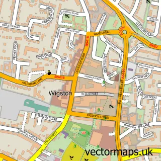
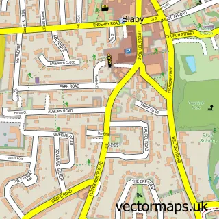
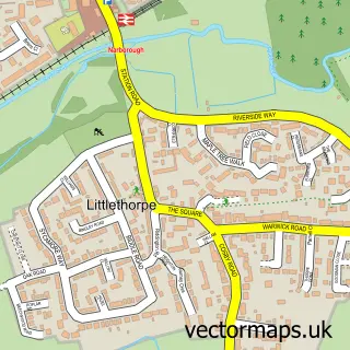
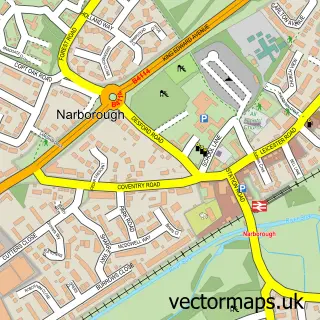
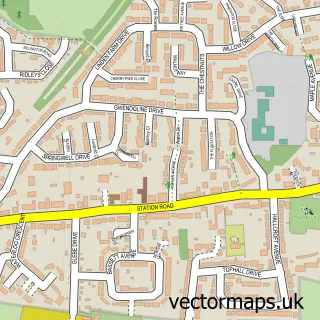
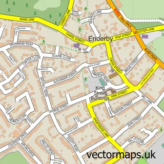
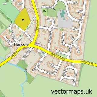
Nearby street map samples around Whetstone

More street maps in Leicestershire
750 metre map area coverage
Boundary, postcode and point of interest information for the 750m x 750m rectangle centred on this sample map.
Boundaries containing map centre
Constituency: South Leicestershire Co Const
County: Leicestershire County
District: Blaby District
Icb: NHS Leicester Leicestershire and Rutland ICB
Parish: Whetstone CP
Police Force: leicestershire
Postcode District: LE8
Postcode Sector: LE8 6
Ward: North Whetstone Ward
Nearby boundaries intersecting sample
Parish: Blaby CP
Postcode Sector: LE8 4
Ward: Blaby Ward, Cosby & South Whetstone Ward
Postcode coverage
POI category counts
Beauty Salon: 3
Retail: 3
Shipping Center: 3
Building Supply Store: 2
Coffee Shop: 2
Dentist: 2
Elementary School: 2
Hair Salon: 2
Industrial Equipment: 2
Rental Kiosks: 2
Sample points of interest
- AFDA Football Academy
- Vipers Rugby Football Club
- CA Units
- IGS Solutions
- Whetstone Baptist Church
- Flying Scissors Barber Shop
- Kp Beauty Hub
- Desire beauty
- Nails & Beauty By Sheryl
- Sparkle Beauty Treatments
- Hillside Contracts
- Site Solutions & Services
Create a larger editable map of Whetstone
This sample shows only a 750 metre area. To create a larger map of Whetstone, use our map builder to choose your own coverage area, add titles and download editable SVG, PDF and PNG files.
Create a custom map of Whetstone