This Huncote street map is a detailed vector street map covering a 750m x 750m area. Select a larger area to create and download your own vector street map of Huncote.
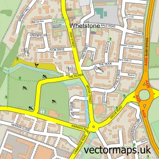
The 750-metre map sample for Huncote covers 389 mapped buildings and approximately 21.5 km of road detail, of which 32 named roads are named. The immediate area includes 1 school, 2 GP surgeries within 2 miles, 1 pub and 1 MOT station, with 5 within 2 miles. The wider area around Huncote features 2 tourism points of interest and 1 food and drink venue. To create a larger or custom map of Huncote, the map builder lets you define your own coverage area and download editable SVG, PDF and PNG files.
Create a larger editable map of Huncote
Choose any area you need and generate a high-quality vector map instantly. Perfect for print, planning, design, business and personal use.

This Huncote street map in Leicestershire is available as downloadable SVG, PDF and PNG map files, or as a printed map for planning, business, display, education, local information and design work. You can also create a larger custom map area using the map selector.
What this Huncote map sample shows
Huncote lies within Huncote Cp parish, part of Normanton ward in the Blaby District local authority area. The postcode geography for this area includes the LE postcode area, the LE9 postcode district and the LE9 3 postcode sector. Residents fall under the Nhs Leicester, Leicestershire And Rutland Integrated Care Board for NHS services.
Local features near Huncote
Within 2 milesAmenities and services in and around Huncote.
Administrative and postcode information for Huncote
Huncote lies within Huncote Cp parish, part of Normanton ward in the Blaby District local authority area. The postcode geography for this area includes the LE postcode area, the LE9 postcode district and the LE9 3 postcode sector. Residents fall under the Nhs Leicester, Leicestershire And Rutland Integrated Care Board for NHS services.
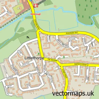
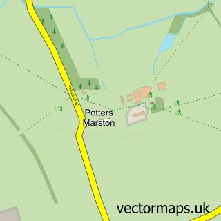
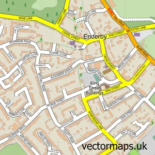
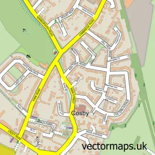
Nearby street map samples around Huncote

More street maps in Leicestershire
750 metre map area coverage
Boundary, postcode and point of interest information for the 750m x 750m rectangle centred on this sample map.
Boundaries containing map centre
Constituency: South Leicestershire Co Const
County: Leicestershire County
District: Blaby District
Icb: NHS Leicester Leicestershire and Rutland ICB
Parish: Huncote CP
Police Force: leicestershire
Postcode District: LE9
Postcode Sector: LE9 3
Ward: Fosse Normanton Ward
Nearby boundaries intersecting sample
No additional intersecting boundaries found.
Postcode coverage
POI category counts
Advertising Agency: 3
Hair Salon: 2
Anglican Church: 1
Arts And Entertainment: 1
Asian Fusion Restaurant: 1
Automotive Repair: 1
Building Supply Store: 1
Carpet Store: 1
Church Cathedral: 1
Contractor: 1
Sample points of interest
- Cream Public Relations
- Hub Design
- Jason Marriott Design
- Huncote: St James the Greater
- The Enderby Band
- Abduls Indian Takeaway Huncote
- Main Street Garage
- Forest Landscapes
- Image Flooring Solutions
- St James' Church
- Skubala Ltd
- SPAR
Create a larger editable map of Huncote
This sample shows only a 750 metre area. To create a larger map of Huncote, use our map builder to choose your own coverage area, add titles and download editable SVG, PDF and PNG files.
Create a custom map of Huncote