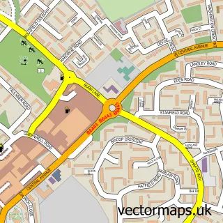
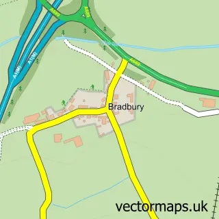
This Aycliffe Village street map is a detailed vector street map covering a 750m x 750m area. Select a larger area to create and download your own vector street map of Aycliffe Village.
The 750-metre map sample for Aycliffe Village covers 238 mapped buildings and approximately 12.9 km of road detail, of which 21 named roads are named. The immediate area includes 1 school, 2 GP surgeries within 2 miles, 2 pubs and 10 MOT stations within 2 miles. The wider area around Aycliffe Village features 2 food and drink venues and 1 campsite within 2 miles. To create a larger or custom map of Aycliffe Village, the map builder lets you define your own coverage area and download editable SVG, PDF and PNG files.
Create a larger editable map of Aycliffe Village
Choose any area you need and generate a high-quality vector map instantly. Perfect for print, planning, design, business and personal use.

This Aycliffe Village street map in Durham is available as downloadable SVG, PDF and PNG map files, or as a printed map for planning, business, display, education, local information and design work. You can also create a larger custom map area using the map selector.
What this Aycliffe Village map sample shows
Aycliffe Village lies within Great Aycliffe Cp parish, part of Aycliffe East ward in the County Durham local authority area. The postcode geography for this area includes the DL postcode area, the DL5 postcode district and the DL5 6 postcode sector. Residents fall under the Nhs North East And North Cumbria Integrated Care Board for NHS services.
Local features near Aycliffe Village
Within 2 milesAmenities and services in and around Aycliffe Village.
Administrative and postcode information for Aycliffe Village
Aycliffe Village lies within Great Aycliffe Cp parish, part of Aycliffe East ward in the County Durham local authority area. The postcode geography for this area includes the DL postcode area, the DL5 postcode district and the DL5 6 postcode sector. Residents fall under the Nhs North East And North Cumbria Integrated Care Board for NHS services.
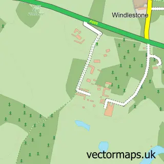
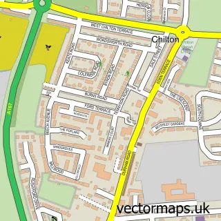
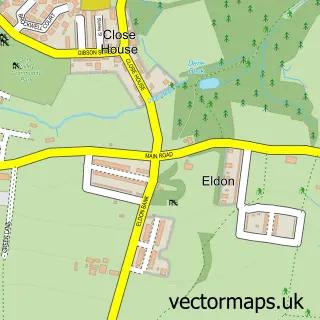
Nearby street map samples around Aycliffe Village


More street maps in Durham
750 metre map area coverage
Boundary, postcode and point of interest information for the 750m x 750m rectangle centred on this sample map.
Boundaries containing map centre
Constituency: Newton Aycliffe and Spennymoor Co Const
District: County Durham
Icb: NHS North East and North Cumbria ICB
Parish: Great Aycliffe CP
Police Force: durham
Postcode District: DL5
Postcode Sector: DL5 6
Nearby boundaries intersecting sample
Parish: Mordon CP
Postcode coverage
POI category counts
Elementary School: 2
Pub: 2
Auto Electrical Repair: 1
Carpenter: 1
Child Care And Day Care: 1
Commercial Printer: 1
Community Center: 1
Education: 1
Flowers And Gifts Shop: 1
Hair Salon: 1
Sample points of interest
- R K Electrical
- C M Joinery & Building Services
- Aycliffe Village House of Eden Nursery
- Aycliffe Hot Foil
- Aycliffe Village Hall
- Darlington Borough Council
- Aycliffe Village Primary School
- Aycliffe Village Primary School
- Opulent Flowers
- Joy Marie
- The Graphs Gaff
- Pestguard
Create a larger editable map of Aycliffe Village
This sample shows only a 750 metre area. To create a larger map of Aycliffe Village, use our map builder to choose your own coverage area, add titles and download editable SVG, PDF and PNG files.
Create a custom map of Aycliffe Village