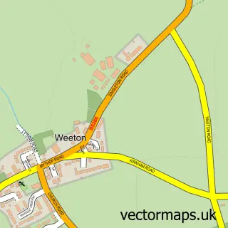
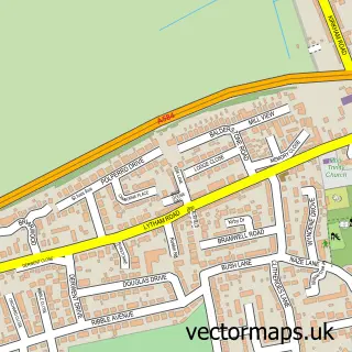
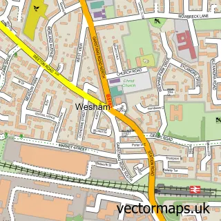
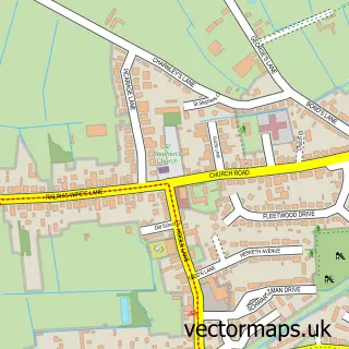
This Lytham St Annes street map is a detailed vector street map covering a 750m x 750m area. Select a larger area to create and download your own vector street map of Lytham St Annes.
The 750-metre map sample for Lytham St Annes covers 505 mapped buildings and approximately 16.5 km of road detail, of which 35 named roads are named. The immediate area includes 1 primary school and 1 secondary school, 1 GP surgery, with 3 within 2 miles and 9 MOT stations within 2 miles. The wider area around Lytham St Annes features 2 food and drink venues and 1 hotel. To create a larger or custom map of Lytham St Annes, the map builder lets you define your own coverage area and download editable SVG, PDF and PNG files.
Create a larger editable map of Lytham St Annes
Choose any area you need and generate a high-quality vector map instantly. Perfect for print, planning, design, business and personal use.

This Lytham St Annes street map in Lancashire is available as downloadable SVG, PDF and PNG map files, or as a printed map for planning, business, display, education, local information and design work. You can also create a larger custom map area using the map selector.
What this Lytham St Annes map sample shows
Lytham St Annes lies within Saint Anne's On The Sea Cp parish, part of Fairhaven ward in the Fylde District (B) local authority area. The postcode geography for this area includes the FY postcode area, the FY8 postcode district and the FY8 1 postcode sector. Residents fall under the Nhs Lancashire And South Cumbria Integrated Care Board for NHS services.
Local features near Lytham St Annes
Within 2 milesAmenities and services in and around Lytham St Annes.
Administrative and postcode information for Lytham St Annes
Lytham St Annes lies within Saint Anne's On The Sea Cp parish, part of Fairhaven ward in the Fylde District (B) local authority area. The postcode geography for this area includes the FY postcode area, the FY8 postcode district and the FY8 1 postcode sector. Residents fall under the Nhs Lancashire And South Cumbria Integrated Care Board for NHS services.
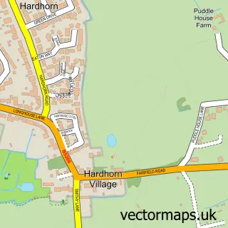
Nearby street map samples around Lytham St Annes

More street maps in Lancashire
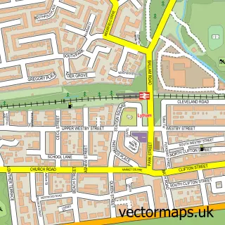
750 metre map area coverage
Boundary, postcode and point of interest information for the 750m x 750m rectangle centred on this sample map.
Boundaries containing map centre
Constituency: Fylde Co Const
County: Lancashire County
District: Fylde District (B)
Icb: NHS Lancashire and South Cumbria ICB
Parish: Ansdell CP
Police Force: lancashire
Postcode District: FY8
Postcode Sector: FY8 4
Ward: Ansdell & Fairhaven Ward
Nearby boundaries intersecting sample
Parish: Saint Anne's on the Sea CP
Postcode Sector: FY8 3
Ward: Heyhouses Ward, Park Ward
Postcode coverage
POI category counts
Assisted Living Facility: 2
Doctor: 2
High School: 2
Advertising Agency: 1
Arts And Crafts: 1
B2b Textiles: 1
Barber: 1
Beauty Salon: 1
Bookstore: 1
Business Consulting: 1
Sample points of interest
- Hot Creative
- The Rustic Tree
- Lytham St Annes War Memorial Housing Association
- Your Housing
- Windmill Quilters, Lytham St. Anne's
- Keepers Cottage
- J C Beauty
- Timely Bridges Ministries
- Ariom Solutions
- Hallmark Cards
- West Coast Cafe & Smoothie Bar
- Stripseal flooring limited
Create a larger editable map of Lytham St Annes
This sample shows only a 750 metre area. To create a larger map of Lytham St Annes, use our map builder to choose your own coverage area, add titles and download editable SVG, PDF and PNG files.
Create a custom map of Lytham St Annes