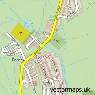
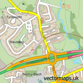
This Pant street map is a detailed vector street map covering a 750m x 750m area. Select a larger area to create and download your own vector street map of Pant.
The 750-metre map sample for Pant covers 424 mapped buildings and approximately 52.6 km of road detail, of which 24 named roads are named. The immediate area includes 1 school, 1 GP surgery within 2 miles, 1 pub and 1 MOT station, with 6 within 2 miles. The wider area around Pant features 2 food and drink venues. To create a larger or custom map of Pant, the map builder lets you define your own coverage area and download editable SVG, PDF and PNG files.
Create a larger editable map of Pant
Choose any area you need and generate a high-quality vector map instantly. Perfect for print, planning, design, business and personal use.

This Pant street map in Mid Glamorgan is available as downloadable SVG, PDF and PNG map files, or as a printed map for planning, business, display, education, local information and design work. You can also create a larger custom map area using the map selector.
What this Pant map sample shows
Pant lies within Vaynor Community parish, part of Vaynor ward in the Merthyr Tudful - Merthyr Tydfil local authority area. The postcode geography for this area includes the CF postcode area, the CF48 postcode district and the CF48 2 postcode sector. Residents fall under the Cwm Taf University Health Board for NHS services.
Local features near Pant
Within 2 milesAmenities and services in and around Pant.
Administrative and postcode information for Pant
Pant lies within Vaynor Community parish, part of Vaynor ward in the Merthyr Tudful - Merthyr Tydfil local authority area. The postcode geography for this area includes the CF postcode area, the CF48 postcode district and the CF48 2 postcode sector. Residents fall under the Cwm Taf University Health Board for NHS services.
Nearby street map samples around Pant
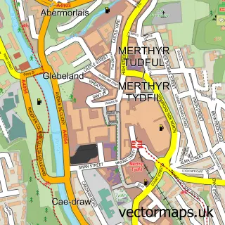

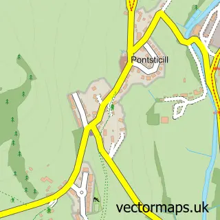
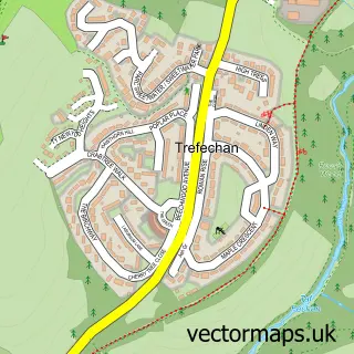
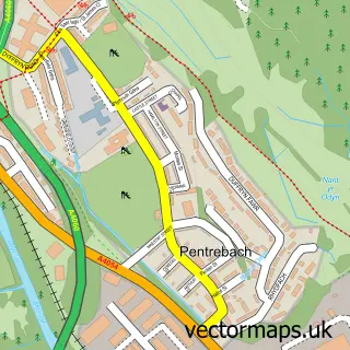
More street maps in Mid Glamorgan
750 metre map area coverage
Boundary, postcode and point of interest information for the 750m x 750m rectangle centred on this sample map.
Boundaries containing map centre
Constituency: Merthyr Tydfil and Aberdare Co Const
District: Merthyr Tudful - Merthyr Tydfil
Icb: Cwm Taf University
Parish: Pant Community
Police Force: south wales
Postcode District: CF48
Postcode Sector: CF48 2
Nearby boundaries intersecting sample
No additional intersecting boundaries found.
Postcode coverage
POI category counts
Convenience Store: 3
Contractor: 2
Atms: 1
Bakery: 1
Bar: 1
Bathroom Remodeling: 1
Building Supply Store: 1
Chinese Restaurant: 1
Church Cathedral: 1
Driving School: 1
Sample points of interest
- ATM (Post Office)
- Cake for all Occasions
- Pant Cad Ivor Inn
- Andrew Williams Complete Bathroom Service Showroom
- GTH Roofing & General Building
- Kam Wah
- Christchurch
- Taylor Painting and Decorating
- Will Thomas Plumbing & Heating
- Premier
- Premier
- Premier Pant Stores
Create a larger editable map of Pant
This sample shows only a 750 metre area. To create a larger map of Pant, use our map builder to choose your own coverage area, add titles and download editable SVG, PDF and PNG files.
Create a custom map of Pant