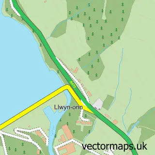
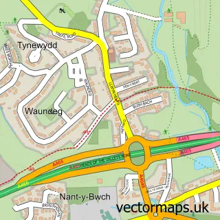
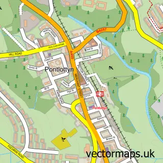
This Pontsticill street map is a detailed vector street map covering a 750m x 750m area. Select a larger area to create and download your own vector street map of Pontsticill.
The 750-metre map sample for Pontsticill covers 118 mapped buildings and approximately 30.4 km of road detail. The immediate area includes 2 pubs and 2 MOT stations within 2 miles. The wider area around Pontsticill features 2 tourism points of interest, 2 food and drink venues and 1 hotel. To create a larger or custom map of Pontsticill, the map builder lets you define your own coverage area and download editable SVG, PDF and PNG files.
Create a larger editable map of Pontsticill
Choose any area you need and generate a high-quality vector map instantly. Perfect for print, planning, design, business and personal use.

This Pontsticill street map in Mid Glamorgan is available as downloadable SVG, PDF and PNG map files, or as a printed map for planning, business, display, education, local information and design work. You can also create a larger custom map area using the map selector.
What this Pontsticill map sample shows
Pontsticill lies within Vaynor Community parish, part of Vaynor ward in the Merthyr Tudful - Merthyr Tydfil local authority area. The postcode geography for this area includes the CF postcode area, the CF48 postcode district and the CF48 2 postcode sector. Residents fall under the Cwm Taf University Health Board for NHS services.
Local features near Pontsticill
Within 2 milesAmenities and services in and around Pontsticill.
Administrative and postcode information for Pontsticill
Pontsticill lies within Vaynor Community parish, part of Vaynor ward in the Merthyr Tudful - Merthyr Tydfil local authority area. The postcode geography for this area includes the CF postcode area, the CF48 postcode district and the CF48 2 postcode sector. Residents fall under the Cwm Taf University Health Board for NHS services.
Nearby street map samples around Pontsticill
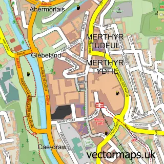

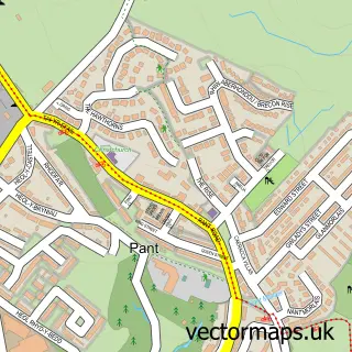
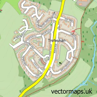
More street maps in Mid Glamorgan
750 metre map area coverage
Boundary, postcode and point of interest information for the 750m x 750m rectangle centred on this sample map.
Boundaries containing map centre
Constituency: Merthyr Tydfil and Aberdare Co Const
District: Merthyr Tudful - Merthyr Tydfil
Icb: Cwm Taf University
Parish: Vaynor Community
Police Force: south wales
Postcode District: CF48
Postcode Sector: CF48 2
Nearby boundaries intersecting sample
Parish: Pant Community
Police Force: dyfed-powys
Postcode coverage
POI category counts
Pub: 2
Attractions And Activities: 1
Auto Electrical Repair: 1
Campground: 1
Garage Door Service: 1
Garbage Collection Service: 1
Gardener: 1
Hotel: 1
Land Surveying: 1
Sample points of interest
- Pontsticle Resevoir
- M&s Security Systems
- Plas Dolygaer
- Shutter Door Services
- Chemcycle Environmental Management
- Acorn Services
- Penrhadw Farm
- Petrich Surveyors
- Red Cow Inn
- The Butchers Arms
Create a larger editable map of Pontsticill
This sample shows only a 750 metre area. To create a larger map of Pontsticill, use our map builder to choose your own coverage area, add titles and download editable SVG, PDF and PNG files.
Create a custom map of Pontsticill