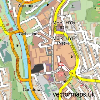
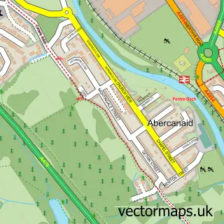
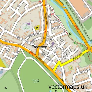
This Trefechan street map is a detailed vector street map covering a 750m x 750m area. Select a larger area to create and download your own vector street map of Trefechan.
The 750-metre map sample for Trefechan covers 294 mapped buildings and approximately 28.3 km of road detail, of which 16 named roads are named. The immediate area includes 1 GP surgery within 2 miles and 6 MOT stations within 2 miles. To create a larger or custom map of Trefechan, the map builder lets you define your own coverage area and download editable SVG, PDF and PNG files.
Create a larger editable map of Trefechan
Choose any area you need and generate a high-quality vector map instantly. Perfect for print, planning, design, business and personal use.

This Trefechan street map in Mid Glamorgan is available as downloadable SVG, PDF and PNG map files, or as a printed map for planning, business, display, education, local information and design work. You can also create a larger custom map area using the map selector.
What this Trefechan map sample shows
Trefechan lies within Vaynor Community parish, part of Vaynor ward in the Merthyr Tudful - Merthyr Tydfil local authority area. The postcode geography for this area includes the CF postcode area, the CF48 postcode district and the CF48 2 postcode sector. Residents fall under the Cwm Taf University Health Board for NHS services.
Local features near Trefechan
Within 2 milesAmenities and services in and around Trefechan.
Administrative and postcode information for Trefechan
The local authority covering Trefechan is Merthyr Tudful - Merthyr Tydfil, within the county of Mid Glamorgan. The settlement lies within Vaynor ward and Vaynor Community civil parish. The CF48 postcode district and CF48 2 postcode sector serve the immediate area. NHS provision in the area is delivered through Cwm Taf Morgannwg University Health Board.
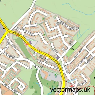
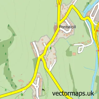
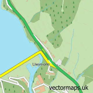
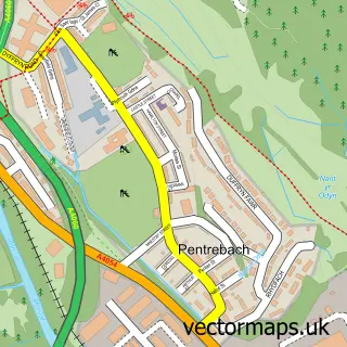
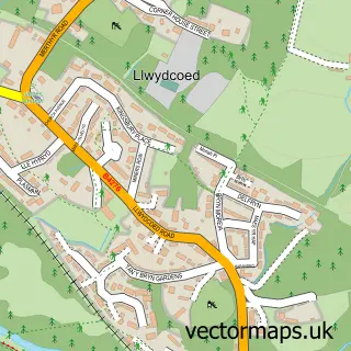
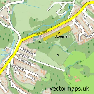
Nearby street map samples around Trefechan

More street maps in Mid Glamorgan
750 metre map area coverage
Boundary, postcode and point of interest information for the 750m x 750m rectangle centred on this sample map.
Boundaries containing map centre
Constituency: Merthyr Tydfil and Aberdare Co Const
District: Merthyr Tudful - Merthyr Tydfil
Icb: Cwm Taf University
Parish: Vaynor Community
Police Force: south wales
Postcode District: CF48
Postcode Sector: CF48 2
Nearby boundaries intersecting sample
No additional intersecting boundaries found.
Postcode coverage
POI category counts
Automotive Repair: 1
Business Manufacturing And Supply: 1
Fish And Chips Restaurant: 1
Flowers And Gifts Shop: 1
Home Security: 1
Kids Recreation And Party: 1
Professional Services: 1
Sample points of interest
- ADM & Sons Garage Services
- Zw Roller Shutter Doors
- Trefechan fishbar
- Bouquets and Bows
- Safe & Sound Alarms
- Phoenix Paintball
- Crossroads Care Cwm Taf
Create a larger editable map of Trefechan
This sample shows only a 750 metre area. To create a larger map of Trefechan, use our map builder to choose your own coverage area, add titles and download editable SVG, PDF and PNG files.
Create a custom map of Trefechan