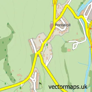
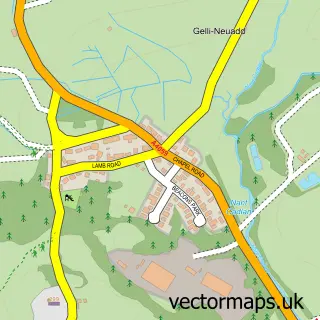
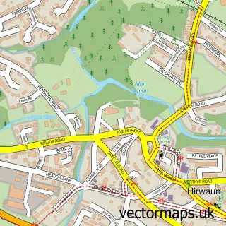
This Llwyn-onn street map is a detailed vector street map covering a 750m x 750m area. Select a larger area to create and download your own vector street map of Llwyn-onn.
The 750-metre map sample for Llwyn-onn covers 29 mapped buildings and approximately 15.3 km of road detail. To create a larger or custom map of Llwyn-onn, the map builder lets you define your own coverage area and download editable SVG, PDF and PNG files.
Create a larger editable map of Llwyn-onn
Choose any area you need and generate a high-quality vector map instantly. Perfect for print, planning, design, business and personal use.

This Llwyn-onn street map in Mid Glamorgan is available as downloadable SVG, PDF and PNG map files, or as a printed map for planning, business, display, education, local information and design work. You can also create a larger custom map area using the map selector.
What this Llwyn-onn map sample shows
Llwyn-onn lies within Vaynor Community parish, part of Vaynor ward in the Merthyr Tudful - Merthyr Tydfil local authority area. The postcode geography for this area includes the CF postcode area, the CF48 postcode district and the CF48 2 postcode sector. Residents fall under the Cwm Taf University Health Board for NHS services.
Administrative and postcode information for Llwyn-onn
Llwyn-onn lies within Vaynor Community parish, part of Vaynor ward in the Merthyr Tudful - Merthyr Tydfil local authority area. The postcode geography for this area includes the CF postcode area, the CF48 postcode district and the CF48 2 postcode sector. Residents fall under the Cwm Taf University Health Board for NHS services.
Nearby street map samples around Llwyn-onn
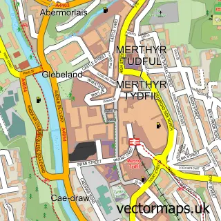

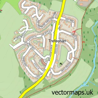
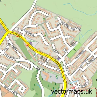
More street maps in Mid Glamorgan
750 metre map area coverage
Boundary, postcode and point of interest information for the 750m x 750m rectangle centred on this sample map.
Boundaries containing map centre
Constituency: Merthyr Tydfil and Aberdare Co Const
District: Merthyr Tudful - Merthyr Tydfil
Icb: Cwm Taf University
Parish: Vaynor Community
Police Force: south wales
Postcode District: CF48
Postcode Sector: CF48 2
Nearby boundaries intersecting sample
District: Rhondda Cynon Taf - Rhondda Cynon Taf
Parish: Hirwaun Community
Postcode coverage
POI category counts
Bed And Breakfast: 2
Accommodation: 1
Sample points of interest
- Llwyn Onn Guest House
- Arfryn House Bed and Breakfast
- Llwyn Onn Bed&Breakfast
Create a larger editable map of Llwyn-onn
This sample shows only a 750 metre area. To create a larger map of Llwyn-onn, use our map builder to choose your own coverage area, add titles and download editable SVG, PDF and PNG files.
Create a custom map of Llwyn-onn