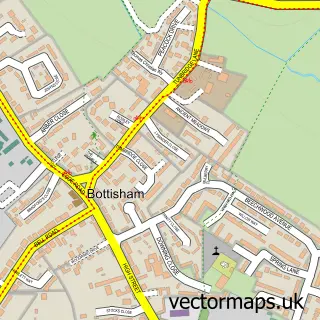
This Teversham street map is a detailed vector street map covering a 750m x 750m area. Select a larger area to create and download your own vector street map of Teversham.
The 750-metre map sample for Teversham covers 222 mapped buildings and approximately 9.4 km of road detail, of which 14 named roads are named. The immediate area includes 1 school, 4 GP surgeries within 2 miles and 1 MOT station, with 18 within 2 miles. The wider area around Teversham features 1 tourism point of interest and 1 campsite within 2 miles. To create a larger or custom map of Teversham, the map builder lets you define your own coverage area and download editable SVG, PDF and PNG files.
Create a larger editable map of Teversham
Choose any area you need and generate a high-quality vector map instantly. Perfect for print, planning, design, business and personal use.

This Teversham street map in Cambridgeshire is available as downloadable SVG, PDF and PNG map files, or as a printed map for planning, business, display, education, local information and design work. You can also create a larger custom map area using the map selector.
What this Teversham map sample shows
Teversham lies within Teversham Cp parish, part of Fen Ditton & Fulbourn ward in the South Cambridgeshire District local authority area. The postcode geography for this area includes the CB postcode area, the CB1 postcode district and the CB1 9 postcode sector. Residents fall under the Nhs Cambridgeshire And Peterborough Integrated Care Board for NHS services.
Local features near Teversham
Within 2 milesAmenities and services in and around Teversham.
Administrative and postcode information for Teversham
Teversham lies within Teversham Cp parish, part of Fen Ditton & Fulbourn ward in the South Cambridgeshire District local authority area. The postcode geography for this area includes the CB postcode area, the CB1 postcode district and the CB1 9 postcode sector. Residents fall under the Nhs Cambridgeshire And Peterborough Integrated Care Board for NHS services.
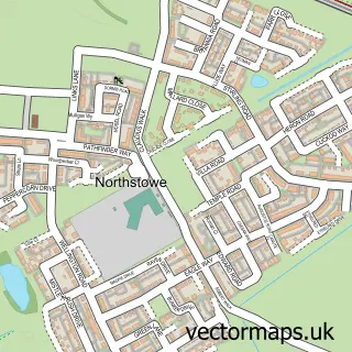
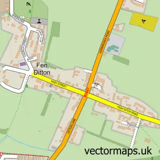
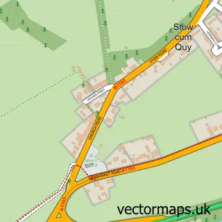
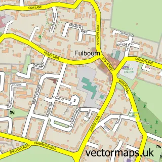
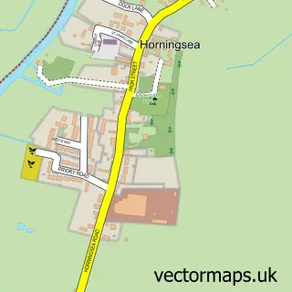
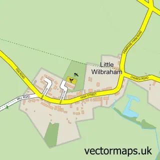
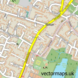
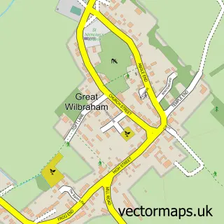
Nearby street map samples around Teversham

More street maps in Cambridgeshire
750 metre map area coverage
Boundary, postcode and point of interest information for the 750m x 750m rectangle centred on this sample map.
Boundaries containing map centre
Constituency: South Cambridgeshire Co Const
County: Cambridgeshire County
District: South Cambridgeshire District
Icb: NHS Central East ICB
Parish: Teversham CP
Police Force: cambridgeshire
Postcode District: CB1
Postcode Sector: CB1 9
Ward: Fen Ditton & Fulbourn Ward
Nearby boundaries intersecting sample
No additional intersecting boundaries found.
Postcode coverage
POI category counts
Church Cathedral: 2
Telecommunications: 2
Attractions And Activities: 1
Automotive Repair: 1
Contractor: 1
Elementary School: 1
Engineering Services: 1
Home Cleaning: 1
Hvac Services: 1
Indian Restaurant: 1
Sample points of interest
- Teversham Community Orchard
- Teversham Classics
- All Saints Teversham
- Hope Community Church
- Stefan's Building
- Teversham C of E Primary School
- Teversham Engineering
- Scrub n Clean Cleaning Service
- S&M Heating
- Tamarind
- Teversham Motors
- Borley Bros
Create a larger editable map of Teversham
This sample shows only a 750 metre area. To create a larger map of Teversham, use our map builder to choose your own coverage area, add titles and download editable SVG, PDF and PNG files.
Create a custom map of Teversham