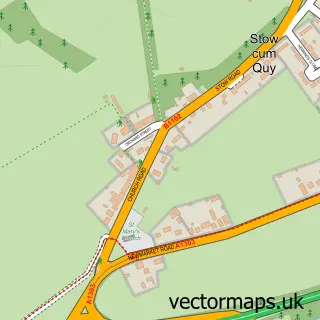
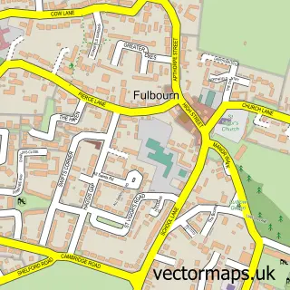
This Fen Ditton street map is a detailed vector street map covering a 750m x 750m area. Select a larger area to create and download your own vector street map of Fen Ditton.
The 750-metre map sample for Fen Ditton covers 178 mapped buildings and approximately 7.8 km of road detail, of which 12 named roads are named. The immediate area includes 1 school, 8 GP surgeries within 2 miles, 4 pubs and 19 MOT stations within 2 miles. The wider area around Fen Ditton features 5 food and drink venues and 1 campsite within 2 miles. To create a larger or custom map of Fen Ditton, the map builder lets you define your own coverage area and download editable SVG, PDF and PNG files.
Create a larger editable map of Fen Ditton
Choose any area you need and generate a high-quality vector map instantly. Perfect for print, planning, design, business and personal use.

This Fen Ditton street map in Cambridgeshire is available as downloadable SVG, PDF and PNG map files, or as a printed map for planning, business, display, education, local information and design work. You can also create a larger custom map area using the map selector.
What this Fen Ditton map sample shows
Fen Ditton lies within Fen Ditton Cp parish, part of Fen Ditton & Fulbourn ward in the South Cambridgeshire District local authority area. The postcode geography for this area includes the CB postcode area, the CB5 postcode district and the CB5 8 postcode sector. Residents fall under the Nhs Cambridgeshire And Peterborough Integrated Care Board for NHS services.
Local features near Fen Ditton
Within 2 milesAmenities and services in and around Fen Ditton.
Administrative and postcode information for Fen Ditton
The local authority covering Fen Ditton is South Cambridgeshire District, within the county of Cambridgeshire. The settlement lies within Fen Ditton & Fulbourn ward and Fen Ditton Cp civil parish. The CB5 postcode district and CB5 8 postcode sector serve the immediate area. NHS provision in the area is delivered through Cambridge University Hospitals Nhs Foundation Trust.
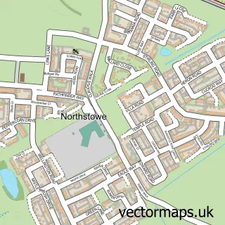
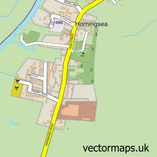
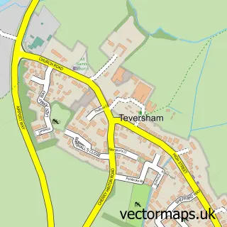
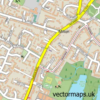
Nearby street map samples around Fen Ditton

More street maps in Cambridgeshire
750 metre map area coverage
Boundary, postcode and point of interest information for the 750m x 750m rectangle centred on this sample map.
Boundaries containing map centre
Constituency: South Cambridgeshire Co Const
County: Cambridgeshire County
District: South Cambridgeshire District
Icb: NHS Central East ICB
Parish: Fen Ditton CP
Police Force: cambridgeshire
Postcode District: CB5
Postcode Sector: CB5 8
Ward: Fen Ditton & Fulbourn Ward
Nearby boundaries intersecting sample
Constituency: Cambridge Boro Const
District: Cambridge District (B)
Ward: Abbey Ward
Postcode coverage
POI category counts
Pub: 4
Advertising Agency: 2
Corporate Entertainment Services: 2
Employment Agencies: 2
It Service And Computer Repair: 2
Land Surveying: 2
Accountant: 1
Anglican Church: 1
Art Gallery: 1
Building Contractor: 1
Sample points of interest
- Aston Shaw
- Creactive Design
- Pencilfish
- St Mary the Virgin, Fen Ditton
- Fen Ditton Gallery
- Lynne Strover Gallery
- Hutt Industrial Engineering
- St Mary the Virgin
- Church of St Mary the Virgin
- Catalin builder Cambridge
- Grape Entertainers
- The House of Magic
Create a larger editable map of Fen Ditton
This sample shows only a 750 metre area. To create a larger map of Fen Ditton, use our map builder to choose your own coverage area, add titles and download editable SVG, PDF and PNG files.
Create a custom map of Fen Ditton