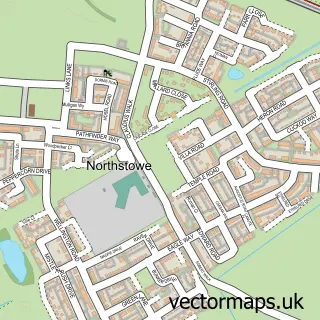
This Milton street map is a detailed vector street map covering a 750m x 750m area. Select a larger area to create and download your own vector street map of Milton.
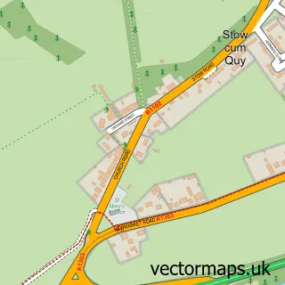
The 750-metre map sample for Milton covers 612 mapped buildings and approximately 15.4 km of road detail, of which 34 named roads are named. The immediate area includes 2 schools, 1 GP surgery, with 4 within 2 miles, 7 pubs and 1 MOT station, with 9 within 2 miles. The wider area around Milton features 1 tourism point of interest, 9 food and drink venues and 1 campsite within 2 miles. To create a larger or custom map of Milton, the map builder lets you define your own coverage area and download editable SVG, PDF and PNG files.
Create a larger editable map of Milton
Choose any area you need and generate a high-quality vector map instantly. Perfect for print, planning, design, business and personal use.

This Milton street map in Cambridgeshire is available as downloadable SVG, PDF and PNG map files, or as a printed map for planning, business, display, education, local information and design work. You can also create a larger custom map area using the map selector.
What this Milton map sample shows
Milton lies within Milton Cp parish, part of Milton & Waterbeach ward in the South Cambridgeshire District local authority area. The postcode geography for this area includes the CB postcode area, the CB24 postcode district and the CB24 6 postcode sector. Residents fall under the Nhs Cambridgeshire And Peterborough Integrated Care Board for NHS services.
Local features near Milton
Within 2 milesAmenities and services in and around Milton.
Administrative and postcode information for Milton
The local authority covering Milton is South Cambridgeshire District, within the county of Cambridgeshire. The settlement lies within Milton & Waterbeach ward and Milton Cp civil parish. The CB24 postcode district and CB24 6 postcode sector serve the immediate area. NHS provision in the area is delivered through Cambridge University Hospitals Nhs Foundation Trust.
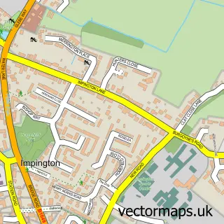
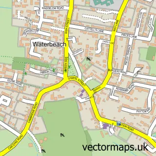
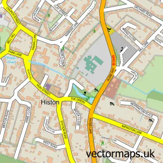
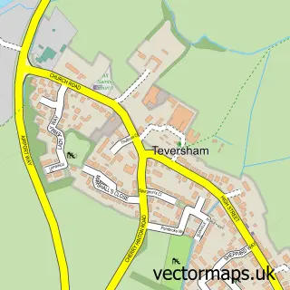
Nearby street map samples around Milton

More street maps in Cambridgeshire
750 metre map area coverage
Boundary, postcode and point of interest information for the 750m x 750m rectangle centred on this sample map.
Boundaries containing map centre
Constituency: Ely and East Cambridgeshire Co Const
County: Cambridgeshire County
District: South Cambridgeshire District
Icb: NHS Central East ICB
Parish: Milton CP
Police Force: cambridgeshire
Postcode District: CB24
Postcode Sector: CB24 6
Ward: Milton & Waterbeach Ward
Nearby boundaries intersecting sample
No additional intersecting boundaries found.
Postcode coverage
POI category counts
Pub: 7
Beauty Salon: 5
Hair Salon: 5
Barber: 2
Building Supply Store: 2
Community Center: 2
Elementary School: 2
Flowers And Gifts Shop: 2
Indian Restaurant: 2
Massage Therapy: 2
Sample points of interest
- Learn Football
- HMC Framing
- Edmund Trust
- Abbott Electrical
- Godden Auto Services Ltd
- Katana Haircutters For Men
- Moda Barber Shop
- Couture Beauty Cambridge
- Hair By Katierichardson
- Harmony Hair & Beauty Salon
- The Parlour
- sophieshairchair
Create a larger editable map of Milton
This sample shows only a 750 metre area. To create a larger map of Milton, use our map builder to choose your own coverage area, add titles and download editable SVG, PDF and PNG files.
Create a custom map of Milton