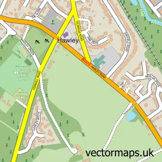
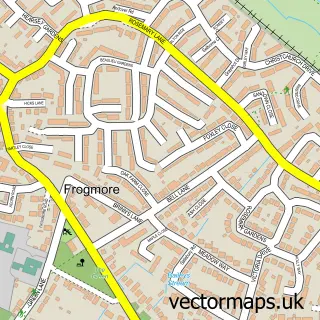
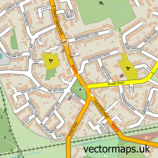
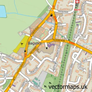
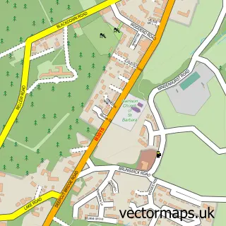
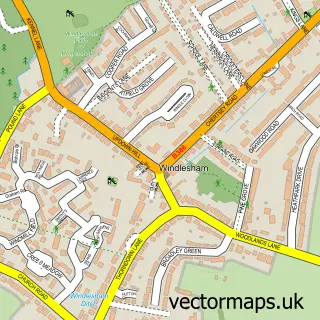
This Camberley street map is a detailed vector street map covering a 750m x 750m area. Select a larger area to create and download your own vector street map of Camberley.
The 750-metre map sample for Camberley covers 239 mapped buildings and approximately 18.4 km of road detail, of which 36 named roads are named. The immediate area includes 1 railway station, 4 GP surgeries within 2 miles, 12 pubs and 13 MOT stations within 2 miles. The wider area around Camberley features 5 tourism points of interest, 33 food and drink venues and 7 hotels. To create a larger or custom map of Camberley, the map builder lets you define your own coverage area and download editable SVG, PDF and PNG files.
Create a larger editable map of Camberley
Choose any area you need and generate a high-quality vector map instantly. Perfect for print, planning, design, business and personal use.

This Camberley street map in Surrey is available as downloadable SVG, PDF and PNG map files, or as a printed map for planning, business, display, education, local information and design work. You can also create a larger custom map area using the map selector.
What this Camberley map sample shows
Camberley lies within Surrey County parish, part of Frimley ward in the Surrey Heath District (B) local authority area. The postcode geography for this area includes the GU postcode area, the GU16 postcode district and the GU16 7 postcode sector. Residents fall under the Nhs Frimley Integrated Care Board for NHS services.
Local features near Camberley
Within 2 milesAmenities and services in and around Camberley.
Administrative and postcode information for Camberley
Camberley lies within Surrey County parish, part of Frimley ward in the Surrey Heath District (B) local authority area. The postcode geography for this area includes the GU postcode area, the GU16 postcode district and the GU16 7 postcode sector. Residents fall under the Nhs Frimley Integrated Care Board for NHS services.
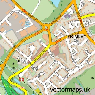
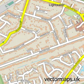
Nearby street map samples around Camberley

More street maps in Surrey
750 metre map area coverage
Boundary, postcode and point of interest information for the 750m x 750m rectangle centred on this sample map.
Boundaries containing map centre
Constituency: Surrey Heath Co Const
County: Surrey County
District: Surrey Heath District (B)
Icb: NHS Frimley ICB
Police Force: surrey
Postcode District: GU15
Postcode Sector: GU15 3
Ward: Town Ward
Nearby boundaries intersecting sample
Postcode Sector: GU15 2, GU15 4
Ward: St. Michaels Ward
Postcode coverage
POI category counts
Clothing Store: 23
Real Estate Agent: 18
Charity Organization: 14
Employment Agencies: 13
Fast Food Restaurant: 12
Jewelry Store: 12
Pub: 12
Furniture Store: 11
Mobile Phone Store: 11
Professional Services: 10
Sample points of interest
- Grant Jones Accountancy
- Ping Chartered Accountants
- Stewart & Co
- William Urquhart
- Conquest Consultancy
- Media Graphics
- Dr China
- Frankie & Benny's
- Gascoigne-Pees Sales And Letting Agents Camberley
- Domestic Appliance Centre
- Another World VR Camberley
- The Beacon Church
Create a larger editable map of Camberley
This sample shows only a 750 metre area. To create a larger map of Camberley, use our map builder to choose your own coverage area, add titles and download editable SVG, PDF and PNG files.
Create a custom map of Camberley