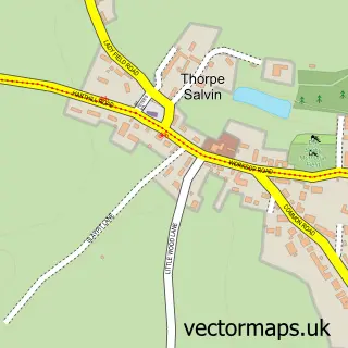
This Kiveton Park street map is a detailed vector street map covering a 750m x 750m area. Select a larger area to create and download your own vector street map of Kiveton Park.
The 750-metre map sample for Kiveton Park covers 272 mapped buildings and approximately 13.1 km of road detail, of which 19 named roads are named. The immediate area includes 1 school, 1 railway station, 1 GP surgery and 1 pub among other local services. The wider area around Kiveton Park features 1 tourism point of interest and 5 food and drink venues. To create a larger or custom map of Kiveton Park, the map builder lets you define your own coverage area and download editable SVG, PDF and PNG files.
Create a larger editable map of Kiveton Park
Choose any area you need and generate a high-quality vector map instantly. Perfect for print, planning, design, business and personal use.

This Kiveton Park street map in South Yorkshire is available as downloadable SVG, PDF and PNG map files, or as a printed map for planning, business, display, education, local information and design work. You can also create a larger custom map area using the map selector.
What this Kiveton Park map sample shows
Kiveton Park lies within Wales Cp parish, part of Wales ward in the Rotherham District (B) local authority area. The postcode geography for this area includes the S postcode area, the S26 postcode district and the S26 6 postcode sector. Residents fall under the Nhs South Yorkshire Integrated Care Board for NHS services.
Local features near Kiveton Park
Within 2 milesAmenities and services in and around Kiveton Park.
Administrative and postcode information for Kiveton Park
The local authority covering Kiveton Park is Rotherham District (B), within the county of South Yorkshire. The settlement lies within Wales ward and Wales Cp civil parish. The S26 postcode district and S26 6 postcode sector serve the immediate area. NHS provision in the area is delivered through The Rotherham Nhs Foundation Trust.
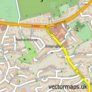
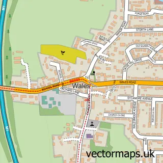
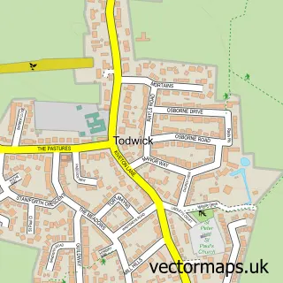
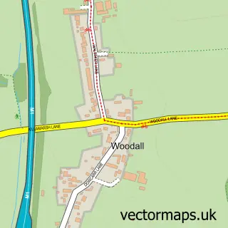
Nearby street map samples around Kiveton Park

More street maps in South Yorkshire
750 metre map area coverage
Boundary, postcode and point of interest information for the 750m x 750m rectangle centred on this sample map.
Boundaries containing map centre
Constituency: Rother Valley Co Const
District: Rotherham District (B)
Icb: NHS South Yorkshire ICB
Parish: Wales CP
Police Force: south yorkshire
Postcode District: S26
Postcode Sector: S26 6
Ward: Wales Ward
Nearby boundaries intersecting sample
Postcode Sector: S26 5
Postcode coverage
POI category counts
Funeral Services And Cemeteries: 4
Retail: 4
Dentist: 3
Flowers And Gifts Shop: 3
Korean Grocery Store: 3
Pharmacy: 3
Bar And Grill Restaurant: 2
Beauty Salon: 2
Coffee Shop: 2
Community Services Non Profits: 2
Sample points of interest
- Coral Design
- Pennyholme Crafts
- The Cooperative Food (BF) Kiveton Park (ERF), Kiverton Park
- Wales Recreation Ground
- Anna Sofia
- Barclays Bank
- Golden Grill Kiveton
- Trebbble B’s
- Top Cut One
- Lovelaura Lash&Brows
- Joanna Louise Hair and Beauty Salon
- Nicholas James
Create a larger editable map of Kiveton Park
This sample shows only a 750 metre area. To create a larger map of Kiveton Park, use our map builder to choose your own coverage area, add titles and download editable SVG, PDF and PNG files.
Create a custom map of Kiveton Park