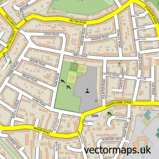
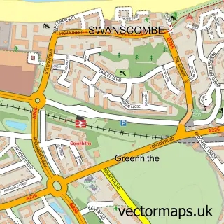
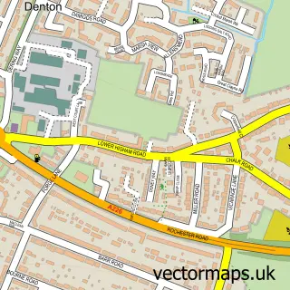
This Northfleet street map is a detailed vector street map covering a 750m x 750m area. Select a larger area to create and download your own vector street map of Northfleet.
The 750-metre map sample for Northfleet covers 217 mapped buildings and approximately 13.4 km of road detail, of which 25 named roads are named. The immediate area includes 1 school, 10 GP surgeries within 2 miles, 3 pubs and 21 MOT stations within 2 miles. The wider area around Northfleet features 3 tourism points of interest, 7 food and drink venues and 2 hotels. To create a larger or custom map of Northfleet, the map builder lets you define your own coverage area and download editable SVG, PDF and PNG files.
Create a larger editable map of Northfleet
Choose any area you need and generate a high-quality vector map instantly. Perfect for print, planning, design, business and personal use.

This Northfleet street map in Kent is available as downloadable SVG, PDF and PNG map files, or as a printed map for planning, business, display, education, local information and design work. You can also create a larger custom map area using the map selector.
What this Northfleet map sample shows
Northfleet lies within Kent County parish, part of Northfleet North ward in the Gravesham District (B) local authority area. The postcode geography for this area includes the DA postcode area, the DA11 postcode district and the DA11 9 postcode sector. Residents fall under the Nhs Kent And Medway Integrated Care Board for NHS services.
Local features near Northfleet
Within 2 milesAmenities and services in and around Northfleet.
Administrative and postcode information for Northfleet
Northfleet lies within Kent County parish, part of Northfleet North ward in the Gravesham District (B) local authority area. The postcode geography for this area includes the DA postcode area, the DA11 postcode district and the DA11 9 postcode sector. Residents fall under the Nhs Kent And Medway Integrated Care Board for NHS services.
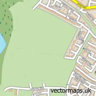
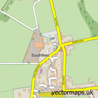
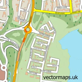
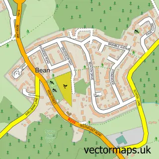
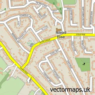
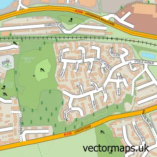
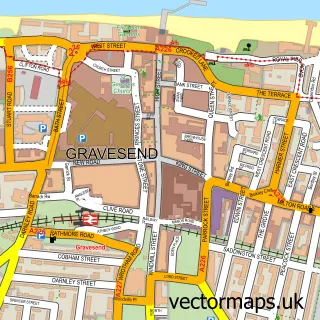
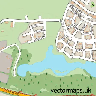
Nearby street map samples around Northfleet

More street maps in Kent
750 metre map area coverage
Boundary, postcode and point of interest information for the 750m x 750m rectangle centred on this sample map.
Boundaries containing map centre
Constituency: Gravesham Co Const
County: Kent County
District: Gravesham District (B)
Icb: NHS Kent and Medway ICB
Police Force: kent
Postcode District: DA11
Postcode Sector: DA11 9
Ward: Northfleet & Springhead Ward
Nearby boundaries intersecting sample
Postcode Sector: DA11 8
Postcode coverage
POI category counts
Convenience Store: 5
Automotive Repair: 3
Building Supply Store: 3
Landmark And Historical Building: 3
Pub: 3
Anglican Church: 2
Assisted Living Facility: 2
Beauty Salon: 2
Cafe: 2
Fish And Chips Restaurant: 2
Sample points of interest
- Northfleet: St Botolph
- St Botolph's Church
- DGSM Your Choice
- Kesson House
- PayPoint
- A1 Commercials
- Kmita Motors
- Paramount Panel & Paint
- I Dream Cakes
- The Edinburgh Castle
- Jaxx Unisex Salon
- Kathleen's unisex hair salon
Create a larger editable map of Northfleet
This sample shows only a 750 metre area. To create a larger map of Northfleet, use our map builder to choose your own coverage area, add titles and download editable SVG, PDF and PNG files.
Create a custom map of Northfleet