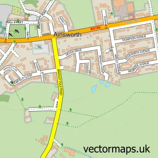
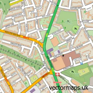
This Radcliffe street map is a detailed vector street map covering a 750m x 750m area. Select a larger area to create and download your own vector street map of Radcliffe.
The 750-metre map sample for Radcliffe covers 268 mapped buildings and approximately 23.6 km of road detail, of which 69 named roads are named. The immediate area includes 1 railway station, 2 GP surgeries, with 8 within 2 miles, 5 pubs and 3 MOT stations, with 24 within 2 miles. The wider area around Radcliffe features 5 tourism points of interest and 21 food and drink venues. To create a larger or custom map of Radcliffe, the map builder lets you define your own coverage area and download editable SVG, PDF and PNG files.
Create a larger editable map of Radcliffe
Choose any area you need and generate a high-quality vector map instantly. Perfect for print, planning, design, business and personal use.

This Radcliffe street map in Greater Manchester is available as downloadable SVG, PDF and PNG map files, or as a printed map for planning, business, display, education, local information and design work. You can also create a larger custom map area using the map selector.
What this Radcliffe map sample shows
Radcliffe lies within Bury District (B) parish, part of Radcliffe East ward in the Bury District (B) local authority area. The postcode geography for this area includes the M postcode area, the M26 postcode district and the M26 1 postcode sector. Residents fall under the Nhs Greater Manchester Integrated Care Board for NHS services.
Local features near Radcliffe
Within 2 milesAmenities and services in and around Radcliffe.
Administrative and postcode information for Radcliffe
Radcliffe lies within Bury District (B) parish, part of Radcliffe East ward in the Bury District (B) local authority area. The postcode geography for this area includes the M postcode area, the M26 postcode district and the M26 1 postcode sector. Residents fall under the Nhs Greater Manchester Integrated Care Board for NHS services.
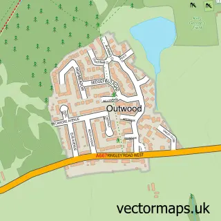
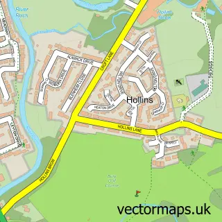
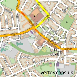
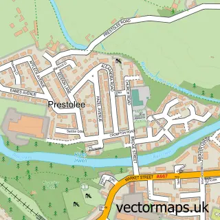
Nearby street map samples around Radcliffe


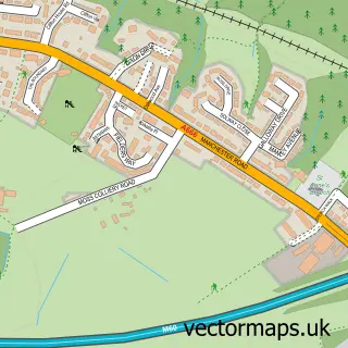
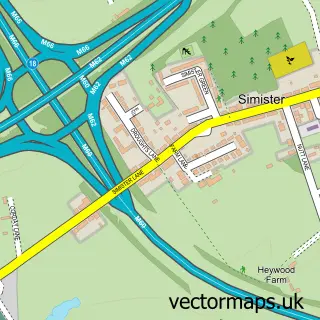
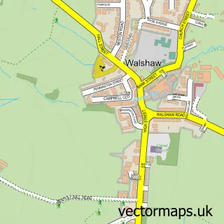
More street maps in Greater Manchester
750 metre map area coverage
Boundary, postcode and point of interest information for the 750m x 750m rectangle centred on this sample map.
Boundaries containing map centre
Constituency: Bury South Boro Const
District: Bury District (B)
Icb: NHS Greater Manchester ICB
Police Force: greater manchester
Postcode District: M26
Postcode Sector: M26 1
Ward: Radcliffe East Ward
Nearby boundaries intersecting sample
Postcode Sector: M26 2, M26 3, M26 4
Ward: Radcliffe West Ward
Postcode coverage
POI category counts
Beauty Salon: 12
Automotive Repair: 10
Fast Food Restaurant: 9
Building Supply Store: 7
Restaurant: 7
Gym: 6
Beauty And Spa: 5
Church Cathedral: 5
Coffee Shop: 5
Doctor: 5
Sample points of interest
- Gortons
- Rowlinson Rainbow and Co
- Wilds Accountants
- Your Local BURY Magazine
- Zest Promotional
- Guildford Arms
- St Thomas & St John with St Philip's, Radcliffe
- The Parish of St Thomas and St John
- Rspca
- Classical Times Antiques and Collectables
- Paint a Pot
- Pearlywinks Craft Supplies
Create a larger editable map of Radcliffe
This sample shows only a 750 metre area. To create a larger map of Radcliffe, use our map builder to choose your own coverage area, add titles and download editable SVG, PDF and PNG files.
Create a custom map of Radcliffe