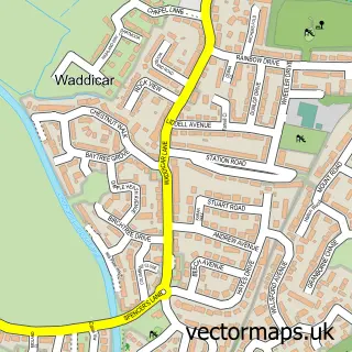
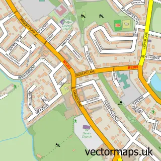
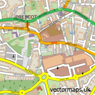
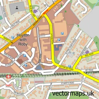
This Knowsley street map is a detailed vector street map covering a 750m x 750m area. Select a larger area to create and download your own vector street map of Knowsley.
The 750-metre map sample for Knowsley covers 231 mapped buildings and approximately 15.1 km of road detail, of which 19 named roads are named. The immediate area includes 1 school, 6 GP surgeries within 2 miles, 1 pub and 7 MOT stations within 2 miles. The wider area around Knowsley features 2 food and drink venues. To create a larger or custom map of Knowsley, the map builder lets you define your own coverage area and download editable SVG, PDF and PNG files.
Create a larger editable map of Knowsley
Choose any area you need and generate a high-quality vector map instantly. Perfect for print, planning, design, business and personal use.

This Knowsley street map in Merseyside is available as downloadable SVG, PDF and PNG map files, or as a printed map for planning, business, display, education, local information and design work. You can also create a larger custom map area using the map selector.
What this Knowsley map sample shows
Knowsley lies within Knowsley Cp parish, part of Prescot North ward in the Knowsley District (B) local authority area. Residents fall under the Nhs Cheshire And Merseyside Integrated Care Board for NHS services.
Local features near Knowsley
Within 2 milesAmenities and services in and around Knowsley.
Administrative and postcode information for Knowsley
Knowsley lies within Knowsley Cp parish, part of Prescot North ward in the Knowsley District (B) local authority area. Residents fall under the Nhs Cheshire And Merseyside Integrated Care Board for NHS services.
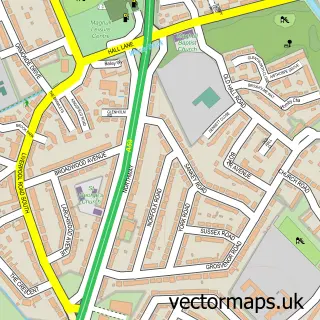
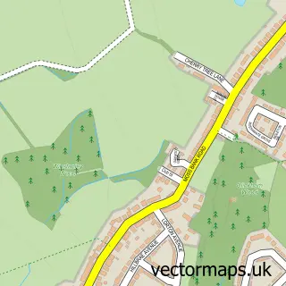
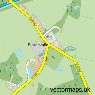
Nearby street map samples around Knowsley


More street maps in Merseyside
750 metre map area coverage
Boundary, postcode and point of interest information for the 750m x 750m rectangle centred on this sample map.
Boundaries containing map centre
Constituency: Knowsley Boro Const
District: Knowsley District (B)
Icb: NHS Cheshire and Merseyside ICB
Parish: Knowsley CP
Police Force: merseyside
Postcode District: L34
Postcode Sector: L34 9
Ward: Prescot North Ward
Nearby boundaries intersecting sample
Postcode Sector: L34 0, L34 8
Postcode coverage
POI category counts
Building Supply Store: 3
Church Cathedral: 2
Accommodation: 1
Anglican Church: 1
Bar And Grill Restaurant: 1
Business Advertising: 1
Community Center: 1
Dance School: 1
Elementary School: 1
Fire Protection Service: 1
Sample points of interest
- Knowsley Village
- St Mary Knowsley
- Antonio's Bar and Grill
- Brammer
- Cleaners Knowsley L34
- Signature landscaping
- Dance Works Knowsley
- Saint Mary's Church Knowsley Village
- St John Fisher Church
- Bob Whiley Community Centre
- Knowsley Dance Project
- Saint John Fisher Catholic Primary School
Create a larger editable map of Knowsley
This sample shows only a 750 metre area. To create a larger map of Knowsley, use our map builder to choose your own coverage area, add titles and download editable SVG, PDF and PNG files.
Create a custom map of Knowsley