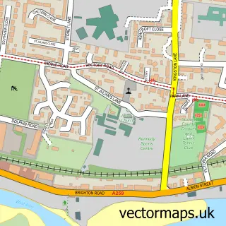
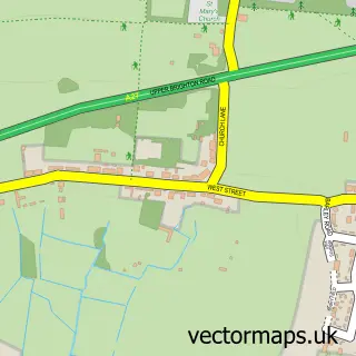
This Southwick street map is a detailed vector street map covering a 750m x 750m area. Select a larger area to create and download your own vector street map of Southwick.
The 750-metre map sample for Southwick covers 408 mapped buildings and approximately 19.7 km of road detail, of which 38 named roads are named. The immediate area includes 1 school, 1 railway station, 4 GP surgeries within 2 miles and 8 pubs among other local services. The wider area around Southwick features 4 tourism points of interest, 12 food and drink venues and 2 hotels. To create a larger or custom map of Southwick, the map builder lets you define your own coverage area and download editable SVG, PDF and PNG files.
Create a larger editable map of Southwick
Choose any area you need and generate a high-quality vector map instantly. Perfect for print, planning, design, business and personal use.

This Southwick street map in West Sussex is available as downloadable SVG, PDF and PNG map files, or as a printed map for planning, business, display, education, local information and design work. You can also create a larger custom map area using the map selector.
What this Southwick map sample shows
Southwick lies within West Sussex County parish, part of Southwick Green ward in the Adur District local authority area. The postcode geography for this area includes the BN postcode area, the BN42 postcode district and the BN42 4 postcode sector. Residents fall under the Nhs Sussex Integrated Care Board for NHS services.
Local features near Southwick
Within 2 milesAmenities and services in and around Southwick.
Administrative and postcode information for Southwick
The local authority covering Southwick is Adur District, within the county of West Sussex. The settlement lies within Southwick Green ward and West Sussex County civil parish. The BN42 postcode district and BN42 4 postcode sector serve the immediate area. NHS provision in the area is delivered through University Hospitals Sussex Nhs Foundation Trust.
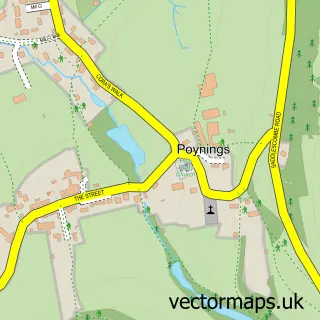
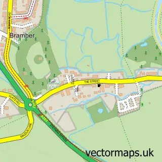
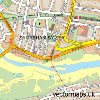
Nearby street map samples around Southwick

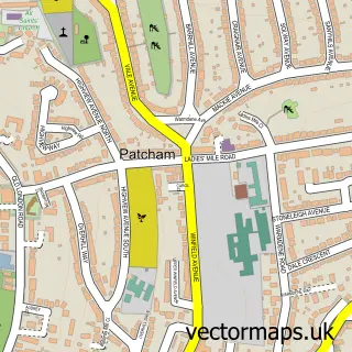
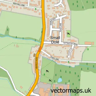
More street maps in West Sussex
750 metre map area coverage
Boundary, postcode and point of interest information for the 750m x 750m rectangle centred on this sample map.
Boundaries containing map centre
Constituency: East Worthing and Shoreham Co Const
County: West Sussex County
District: Adur District
Icb: NHS Surrey and Sussex ICB
Police Force: sussex
Postcode District: BN42
Postcode Sector: BN42 4
Ward: Southwick Green Ward
Nearby boundaries intersecting sample
Ward: Eastbrook Ward
Postcode coverage
POI category counts
Pub: 8
Automotive Repair: 6
Beauty Salon: 4
Doctor: 4
Gardener: 4
Retail: 4
Building Contractor: 3
Charity Organization: 3
Gym: 3
Naturopathic Holistic: 3
Sample points of interest
- Vanilla Online Accounting
- Dry Dock Ding Repairs
- SDB Marketing
- Sussex Promotions
- AnenA Therapy
- Richard Pointon
- St Michael & All Angels, Southwick
- Adrian Alan Ltd.
- Flumpkins X Stitchers
- Southwick
- The Cooperative Food (BF) Southwick Square (ERF), Southwick
- Montgomery Motors Ltd
Create a larger editable map of Southwick
This sample shows only a 750 metre area. To create a larger map of Southwick, use our map builder to choose your own coverage area, add titles and download editable SVG, PDF and PNG files.
Create a custom map of Southwick